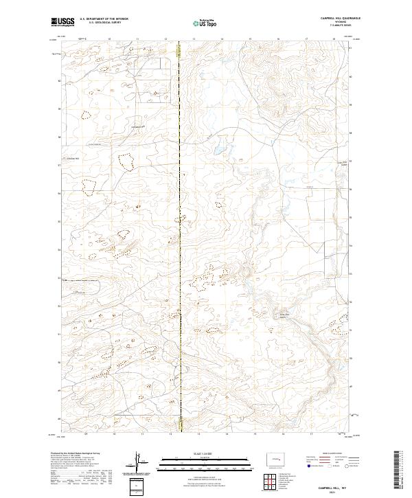
2021 Map of Campbell Hill
USGS Topo · Published 2021About this map
Natrona and Converse County borders divide this high plains landscape, defined by a series of prominent rises and drainage systems typical of the Wyoming interior. Campbell Hill and Johnson Hill dominate the northwestern sector, overlooking a network of ephemeral watercourses including Cole Cr. The terrain is marked by deep erosional features like Lone Tree Gulch, which cuts through the southern reaches of the quadrangle. Transportation is limited to rural routes such as N Cole Creek Rd and Co Rd 22, reflecting the area's sparse settlement and primary use for livestock grazing or resource management. This survey provides a clear view of the public land survey system, mapping out townships such as t35n r77w and t34n r76w.
Find a feature on this map
12 named features on this map. Tap any name to fly to it.
Don’t see what you’re looking for? This feature index may not catch every label — zoom into the map to look around manually.
Map Details
Editions of this 2021 Campbell Hill Map
This is the sole edition of this map. No revisions or reprints were ever made.
Other maps of this area

1949 · Brookhurst
USGS Topo · 1:24,000

1949 · Campbell Hill
USGS Topo · 1:24,000

1949 · Parkerton
USGS Topo · 1:24,000

1949 · Glenrock NW
USGS Topo · 1:24,000

1949 · Pratts Soda Lakes
USGS Topo · 1:24,000

1950 · Campbell Hill
USGS Topo · 1:24,000

1950 · Lockett
USGS Topo · 1:24,000

1950 · Brookhurst
USGS Topo · 1:24,000

1950 · Parkerton
USGS Topo · 1:24,000

1950 · Glenrock NW
USGS Topo · 1:24,000