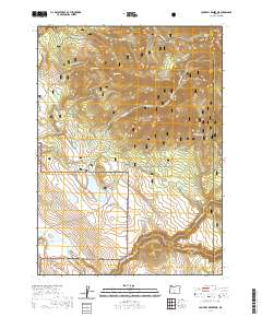
2020 Map of Campbell Reservoir
USGS Topo · Published 2020About this map
Keddy Field serves as a lone landmark in this high-altitude landscape within the Fremont National Forest, representing the sparse human footprint in this part of Klamath County. The terrain is defined by dramatic volcanic and tectonic features, most notably the prominent Round Butte and the rising slopes of the Hagerhorst Mountains. Water management and natural drainage systems are central to the area’s geography, with the Campbell Reservoir collecting runoff and the S. Fork Sprague River carving its path across the southern sections of the map. These features illustrate the essential relationship between the arid landscape and its critical water resources.
Find a feature on this map
1 named feature on this map. Tap any name to fly to it.
Don’t see what you’re looking for? This feature index may not catch every label — zoom into the map to look around manually.
Map Details
Editions of this 2020 Campbell Reservoir Map
This is the sole edition of this map. No revisions or reprints were ever made.
Other maps of this area

1889 · Klamath
USGS Topo · 1:250,000

1894 · Klamath
USGS Topo · 1:250,000

1955 · Klamath Falls
USGS Topo · 1:250,000

1958 · Klamath Falls
USGS Topo · 1:250,000

1960 · Riverbed Butte
USGS Topo · 1:62,500

1960 · Bly
USGS Topo · 1:62,500

1960 · Fishhole Mtn
USGS Topo · 1:62,500

1966 · Sandhill Crossing
USGS Topo · 1:24,000

1966 · Lee Thomas Crossing
USGS Topo · 1:24,000

1974 · Lake Abert
USGS Topo · 1:100,000