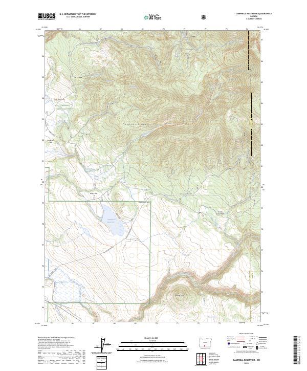
2023 Map of Campbell Reservoir
USGS Topo · Published 2023About this map
Gearhart Mountain Wilderness and the high ridges of the Hagerhorst Mountains dominate this high-desert landscape in the Fremont National Forest. The map centers on the Campbell Reservoir, a vital water source fed by Merrit Creek and surrounded by expansive level plains including Dutchman Flat and Rocky Flat. The drainage of the South Fork Sprague River cuts across the southern portion of the quadrangle, while the north is defined by the sharp descent of Yaden Creek.
Find a feature on this map
53 named features on this map. Tap any name to fly to it.
Don’t see what you’re looking for? This feature index may not catch every label — zoom into the map to look around manually.
Map Details
Editions of this 2023 Campbell Reservoir Map
This is the sole edition of this map. No revisions or reprints were ever made.
Other maps of this area

1889 · Klamath
USGS Topo · 1:250,000

1894 · Klamath
USGS Topo · 1:250,000

1955 · Klamath Falls
USGS Topo · 1:250,000

1958 · Klamath Falls
USGS Topo · 1:250,000

1960 · Riverbed Butte
USGS Topo · 1:62,500

1960 · Bly
USGS Topo · 1:62,500

1960 · Fishhole Mtn
USGS Topo · 1:62,500

1966 · Sandhill Crossing
USGS Topo · 1:24,000

1966 · Lee Thomas Crossing
USGS Topo · 1:24,000

1974 · Lake Abert
USGS Topo · 1:100,000