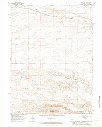
1963 Map of Campstool
USGS Topo · Published 1967About this map
Crow Creek flows through the northern reaches of this High Plains landscape, where the iron rails of the Chicago Burlington and Quincy railroad parallel its course near the settlement of Campstool. This area, surveyed in the early 1960s, straddles the high-altitude border between Wyoming and Colorado, specifically where Laramie and Weld counties meet. The southern portion of the quadrangle is defined by the sharp transition at Chalk Bluffs, dropping into a complex system of drainages including Little Simpson Creek and Geary Creek.
Find a feature on this map
12 named features on this map. Tap any name to fly to it.
Don’t see what you’re looking for? This feature index may not catch every label — zoom into the map to look around manually.
Map Details
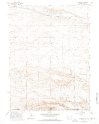
Editions of this 1963 Campstool Map
2 editions found
Other maps of this area

1908 · Eaton
USGS Topo · 1:125,000

1910 · Eaton
USGS Topo · 1:125,000

1911 · Cheyenne
USGS Topo · 1:125,000

1914 · Cheyenne
USGS Topo · 1:125,000

1954 · Cheyenne
USGS Topo · 1:250,000

1954 · Greeley
USGS Topo · 1:250,000

1957 · Greeley
USGS Topo · 1:250,000

1958 · Cheyenne
USGS Topo · 1:250,000

1958 · Greeley
USGS Topo · 1:250,000

1961 · Greeley
USGS Topo · 1:250,000