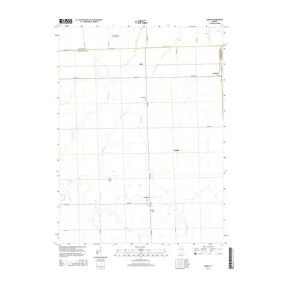
2015 Map of Campus
USGS Topo · Published 2015About this map
Campus and Reddick anchor this 2015 study of the agricultural plains where Livingston, Grundy, and Kankakee counties meet. The landscape is defined by the headwaters of the E Fork Mazon River, Gooseberry Cr, and Broughton Cr, which carve subtle drainage patterns across the rectilinear grid of township roads. Settlement patterns follow the historic transportation corridors, most notably the residential clusters at Blair and Cardiff.
Find a feature on this map
31 named features on this map. Tap any name to fly to it.
Don’t see what you’re looking for? This feature index may not catch every label — zoom into the map to look around manually.
Map Details
Editions of this 2015 Campus Map
This is the sole edition of this map. No revisions or reprints were ever made.
Other maps of this area

1923 · Herscher
USGS Topo · 1:62,500

1925 · Herscher
USGS Topo · 1:62,500

1944 · Piper City
USGS Topo · 1:48,000

1947 · Piper City
USGS Topo · 1:62,500

1947 · Cullom
USGS Topo · 1:62,500

1948 · Dwight
USGS Topo · 1:62,500

1949 · Cullom
USGS Topo · 1:62,500

1950 · Dwight
USGS Topo · 1:62,500

1958 · Aurora
USGS Topo · 1:250,000

1958 · Peoria
USGS Topo · 1:250,000