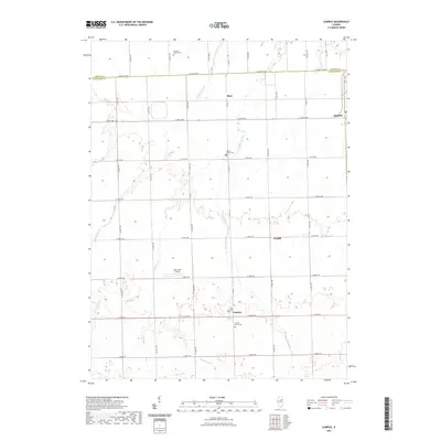
2021 Map of Campus
USGS Topo · Published 2021About this map
Campus and Reddick anchor this agricultural landscape along the northern border of Livingston County, where the prairie is defined by a grid of rural routes like E Livingston Rd and Co Hwy 3. The drainage patterns of Gooseberry Cr and the E Fork Mazon River cut across the rectilinear township sections, influencing the placement of early settlements and family landmarks. Genealogists will find several notable burial sites preserved in the fields, including Gardner Prairie Cem near the northern boundary and Sacred Heart Cem just south of the main Campus settlement. Further east, the village of Cardiff remains a distinct point of interest on the landscape, while Aero Acres Airport provides a modern navigational reference amidst these long-established farming communities.
Find a feature on this map
37 named features on this map. Tap any name to fly to it.
Don’t see what you’re looking for? This feature index may not catch every label — zoom into the map to look around manually.
Map Details
Editions of this 2021 Campus Map
This is the sole edition of this map. No revisions or reprints were ever made.
Other maps of this area

1923 · Herscher
USGS Topo · 1:62,500

1925 · Herscher
USGS Topo · 1:62,500

1944 · Piper City
USGS Topo · 1:48,000

1947 · Piper City
USGS Topo · 1:62,500

1947 · Cullom
USGS Topo · 1:62,500

1948 · Dwight
USGS Topo · 1:62,500

1949 · Cullom
USGS Topo · 1:62,500

1950 · Dwight
USGS Topo · 1:62,500

1958 · Aurora
USGS Topo · 1:250,000

1958 · Peoria
USGS Topo · 1:250,000