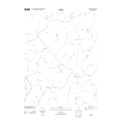
2013 Map of Canaan
USGS Topo · Published 2013About this map
The plateau lands of northern Jefferson County are defined by a network of steep hollows and high ridges, including Copeland Ridge, Bacon Ridge, and Halls Ridge. These elevations divide the drainage of numerous local waterways, most notably the West Fork Indian Kentucky Cr which flows southward toward the community of China. The map documents a predominantly rural landscape where small settlements like Canaan and Central serve as anchors for a winding road network that follows the natural topography of the land.
Find a feature on this map
109 named features on this map. Tap any name to fly to it.
Don’t see what you’re looking for? This feature index may not catch every label — zoom into the map to look around manually.
Map Details
Editions of this 2013 Canaan Map
This is the sole edition of this map. No revisions or reprints were ever made.
Other maps of this area

1939 · Madison West
USGS Topo · 1:24,000

1943 · Brooksburg
USGS Topo · 1:24,000

1948 · Madison West
USGS Topo · 1:24,000

1953 · Madison West
USGS Topo · 1:24,000

1953 · Carrollton
USGS Topo · 1:24,000

1953 · Madison East
USGS Topo · 1:24,000

1956 · Clifty Falls
USGS Topo · 1:24,000

1956 · Bennington
USGS Topo · 1:24,000

1956 · Canaan
USGS Topo · 1:24,000

1956 · Louisville
USGS Topo · 1:250,000