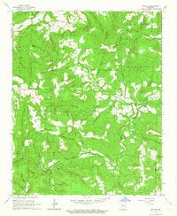
1962 Map of Canaan
USGS Topo · Published 1964About this map
Canaan sits atop the high ridges of the Ozark foothills, presiding over a landscape defined by the deep incisions of the Little Red River and its multiple forks. This early 1960s survey documents a network of highland communities where life centered on country churches and family burial grounds, such as Oak Hill Ch and Oak Hill Cem. The topography is exceptionally varied, ranging from the prominent Bohannon Mountain to the localized peaks of Green Griffin Knob and Star Mountain. In the southern reaches, the boundary between Searcy Co and Van Buren Co cuts across Shady Grove, where Shady Grove Ch and its namesake cemetery served the local rural population. Numerous hollows, including Sulphur Springs Hollow and Picayune Hollow, suggest a settlement pattern dictated by the steep drainages and limited level ground between the winding river branches.
Find a feature on this map
53 named features on this map. Tap any name to fly to it.
Don’t see what you’re looking for? This feature index may not catch every label — zoom into the map to look around manually.
Map Details
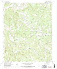
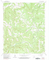
Editions of this 1962 Canaan Map
3 editions found
Other maps of this area

1879 · Washington
USGS Topo · 1:62,500

1887 · Smyrna
USGS Topo · 1:62,500

1889 · Marshall #3
USGS Topo · 1:62,500

1892 · Marshall
USGS Topo · 1:125,000

1894 · Marshall
USGS Topo · 1:125,000

1901 · Marshall
USGS Topo · 1:125,000

1939 · Snowball
USGS Topo · 1:62,500

1940 · Smyrna
USGS Topo · 1:62,500

1941 · Snowball
USGS Topo · 1:62,500

1942 · Snowball
USGS Topo · 1:62,500