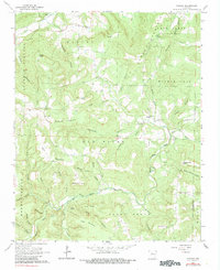
1962 Map of Canaan
USGS Topo · Published 1983About this map
Canaan and the surrounding Ozark uplands are defined by a complex network of hollows and ridges where the Little Red River and its Middle Fork carve through the landscape. This 1962 field-checked survey reveals a rural society centered around small valley settlements and high-point landmarks like Bohannon Mountain and Star Mountain. The cultural footprint of the era is evident in the distribution of community centers such as Oak Hill Ch and its adjacent Oak Hill Cem, along with Hilltop Chapel and Rambo Ch.
Find a feature on this map
51 named features on this map. Tap any name to fly to it.
Don’t see what you’re looking for? This feature index may not catch every label — zoom into the map to look around manually.
Map Details
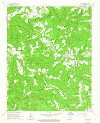
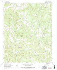
Editions of this 1962 Canaan Map
3 editions found
Other maps of this area

1879 · Washington
USGS Topo · 1:62,500

1887 · Smyrna
USGS Topo · 1:62,500

1889 · Marshall #3
USGS Topo · 1:62,500

1892 · Marshall
USGS Topo · 1:125,000

1894 · Marshall
USGS Topo · 1:125,000

1901 · Marshall
USGS Topo · 1:125,000

1939 · Snowball
USGS Topo · 1:62,500

1940 · Smyrna
USGS Topo · 1:62,500

1941 · Snowball
USGS Topo · 1:62,500

1942 · Snowball
USGS Topo · 1:62,500