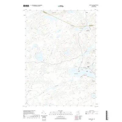
2019 Map of Canada Lake
USGS Topo · Published 2019About this map
Canada Lake serves as the central hub of this Adirondack landscape, where the southern boundary of Hamilton County meets Fulton County. The shoreline is punctuated by Point Breeze and Dolgeville Point, with the smaller Mud Lake and Green Lake nestled nearby. To the north, the small settlement of Arietta sits near the base of Rooster Hill, overlooking a series of interconnected water bodies including Stoner Lakes and Good Luck Lake.
Find a feature on this map
59 named features on this map. Tap any name to fly to it.
Don’t see what you’re looking for? This feature index may not catch every label — zoom into the map to look around manually.
Map Details
Editions of this 2019 Canada Lake Map
This is the sole edition of this map. No revisions or reprints were ever made.
Other maps of this area

1901 · Lassellsville
USGS Topo · 1:62,500

1903 · Gloversville
USGS Topo · 1:62,500

1903 · Lassellsville
USGS Topo · 1:62,500

1904 · Piseco Lake
USGS Topo · 1:62,500

1906 · Piseco Lake
USGS Topo · 1:62,500

1907 · Lake Pleasant
USGS Topo · 1:62,500

1908 · Piseco Lake
USGS Topo · 1:62,500

1943 · Gloversville
USGS Topo · 1:62,500
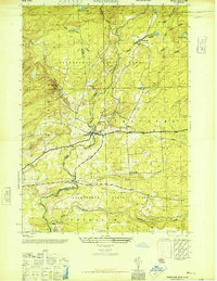
1945 · Stratford
USGS Topo · 1:24,000

1945 · Caroga Lake
USGS Topo · 1:24,000