
1945 Map of Caroga Lake
USGS Topo · Published 1946About this map
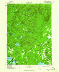
Adirondack State Park dominates this landscape, showing the 1945 settlement patterns where the Southern Adirondacks meet the Hamilton and Fulton county lines. The area is defined by its interconnected water systems and early mountain roads, such as Hohler Road and Fisher Road. The township of Caroga serves as a primary hub, anchored by the developed shorelines of West Caroga Lake and East Caroga Lake.
Find a feature on this map
47 named features on this map. Tap any name to fly to it.
Don’t see what you’re looking for? This feature index may not catch every label — zoom into the map to look around manually.
Map Details
Editions of this 1945 Caroga Lake Map
2 editions found
Other maps of this area

1901 · Lassellsville
USGS Topo · 1:62,500

1903 · Gloversville
USGS Topo · 1:62,500

1903 · Lassellsville
USGS Topo · 1:62,500

1904 · Piseco Lake
USGS Topo · 1:62,500

1906 · Piseco Lake
USGS Topo · 1:62,500

1907 · Lake Pleasant
USGS Topo · 1:62,500

1908 · Piseco Lake
USGS Topo · 1:62,500

1943 · Gloversville
USGS Topo · 1:62,500
1945 · Canada Lake
USGS Topo · 1:24,000
1945 · Jackson Summit
USGS Topo · 1:24,000