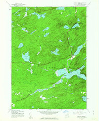
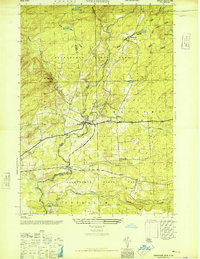
1945 Map of Canada Lake
USGS Topo · Published 1963About this map
The Southern Adirondack wilderness is defined here by its dense network of lakes and mountain ridges as it appeared at the end of World War II. Centered on the settlement of Canada Lake, the area shows early recreational and residential development at Point Breeze and Sandy Point. To the north, the small community of Arietta sits near the Hamilton Co Fulton Co border, while the southwest corner reveals the remote Stewart Landing and an early Aqueduct trace along Sprite Creek.
Find a feature on this map
52 named features on this map. Tap any name to fly to it.
Don’t see what you’re looking for? This feature index may not catch every label — zoom into the map to look around manually.
Map Details
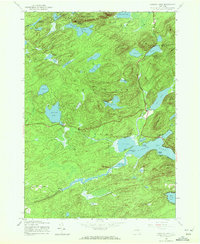
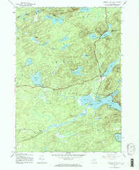
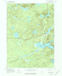
Editions of this 1945 Canada Lake Map
4 editions found
Other maps of this area

1901 · Lassellsville
USGS Topo · 1:62,500

1903 · Gloversville
USGS Topo · 1:62,500

1903 · Lassellsville
USGS Topo · 1:62,500

1904 · Piseco Lake
USGS Topo · 1:62,500

1906 · Piseco Lake
USGS Topo · 1:62,500

1907 · Lake Pleasant
USGS Topo · 1:62,500

1908 · Piseco Lake
USGS Topo · 1:62,500

1943 · Gloversville
USGS Topo · 1:62,500
1945 · Stratford
USGS Topo · 1:24,000

1945 · Caroga Lake
USGS Topo · 1:24,000