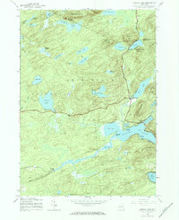
1945 Map of Canada Lake
USGS Topo · Published 1984About this map
Canada Lake and the southern reaches of the Adirondack Park define this 1945 landscape, captured just as the region’s mid-century recreational identity was maturing. The map reveals a dense network of water bodies, including the Stoner Lakes, Pleasant Lake, and Nine Corner Lake, many of which served as focal points for seasonal development and timber management. The small settlement of Arietta sits near the northern boundary, while Stewart Landing occupies a quiet position in the southwest.
Find a feature on this map
49 named features on this map. Tap any name to fly to it.
Don’t see what you’re looking for? This feature index may not catch every label — zoom into the map to look around manually.
Map Details
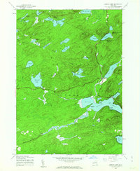
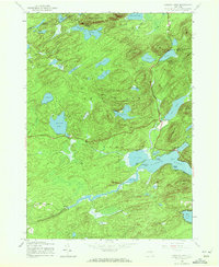
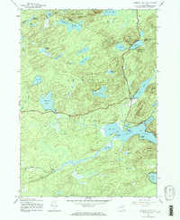
Editions of this 1945 Canada Lake Map
4 editions found
Other maps of this area

1901 · Lassellsville
USGS Topo · 1:62,500

1903 · Gloversville
USGS Topo · 1:62,500

1903 · Lassellsville
USGS Topo · 1:62,500

1904 · Piseco Lake
USGS Topo · 1:62,500

1906 · Piseco Lake
USGS Topo · 1:62,500

1907 · Lake Pleasant
USGS Topo · 1:62,500

1908 · Piseco Lake
USGS Topo · 1:62,500

1943 · Gloversville
USGS Topo · 1:62,500
1945 · Stratford
USGS Topo · 1:24,000
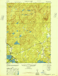
1945 · Caroga Lake
USGS Topo · 1:24,000