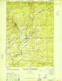
1945 Map of Stratford
USGS Topo · Published 1946About this map
East Canada Creek carves a central path through this mid-century landscape where the industrial and natural worlds of the southern Adirondacks meet. At Stratford, the water’s course dictates the layout of the town, while further north, the Knapp Reservoir and the small settlement of Knappville show the management of upland water resources. The map captures the boundary between Herkimer and Fulton counties as it runs through Adirondack State Park, a region defined by high points like Oak Mtn and Bear Hill.
Find a feature on this map
24 named features on this map. Tap any name to fly to it.
Don’t see what you’re looking for? This feature index may not catch every label — zoom into the map to look around manually.
Map Details
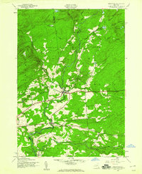
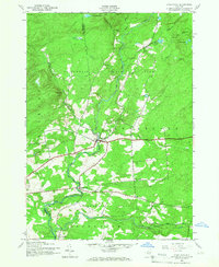
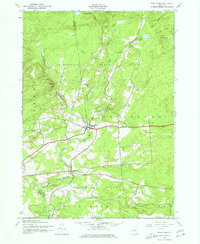
Editions of this 1945 Stratford Map
4 editions found
Other maps of this area

1900 · Little Falls
USGS Topo · 1:62,500

1900 · Wilmurt
USGS Topo · 1:62,500

1901 · Lassellsville
USGS Topo · 1:62,500

1902 · Wilmurt
USGS Topo · 1:62,500

1903 · Lassellsville
USGS Topo · 1:62,500

1903 · Little Falls
USGS Topo · 1:62,500

1904 · Piseco Lake
USGS Topo · 1:62,500

1906 · Piseco Lake
USGS Topo · 1:62,500

1908 · Piseco Lake
USGS Topo · 1:62,500

1939 · Little Falls
USGS Topo · 1:62,500