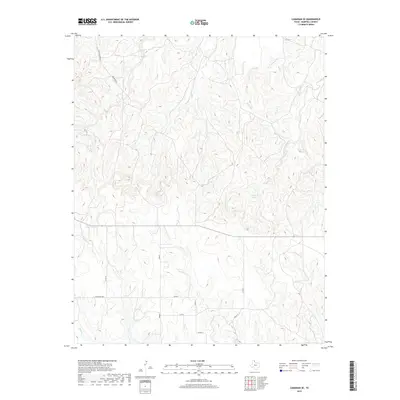
2019 Map of Canadian SE
USGS Topo · Published 2019About this map
Cleveland Lake sits at the heart of this landscape, fed and drained by the branching network of Big Timber Creek. This 2019 survey of the southeastern corner of the Canadian area reveals a terrain defined by deep drainage patterns and ranching infrastructure. Named landmarks such as the Brown Ranch and Charley Brown Rd indicate the area's legacy of local landholding, while the route marked Hobart suggests a point of navigation through the rugged breaks. The map documents numerous smaller waterways, including McKay Cr and Elk Creek, which carve through the high plains. A sparse but intentional road network, featuring Ranch Rd 3044 and various county roads like Co Rd 14, connects the remote homesteads and water sources that define life in this portion of the Texas Panhandle.
Find a feature on this map
18 named features on this map. Tap any name to fly to it.
Don’t see what you’re looking for? This feature index may not catch every label — zoom into the map to look around manually.
Map Details
Editions of this 2019 Canadian SE Map
This is the sole edition of this map. No revisions or reprints were ever made.
Other maps of this area

1954 · Amarillo
USGS Topo · 1:250,000

1958 · Amarillo
USGS Topo · 1:250,000

1967 · Mendota
USGS Topo · 1:24,000

1967 · Dads Creek
USGS Topo · 1:24,000

1967 · Lake June
USGS Topo · 1:24,000

1967 · Young Ranch
USGS Topo · 1:24,000

1967 · Blue Ridge School
USGS Topo · 1:24,000

1967 · Canadian SE
USGS Topo · 1:24,000

1972 · Canadian West
USGS Topo · 1:24,000

1972 · Canadian East
USGS Topo · 1:24,000