
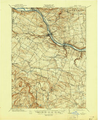
1902 Map of Canajoharie
USGS Topo · Published 1902About this map
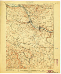
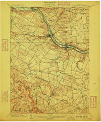
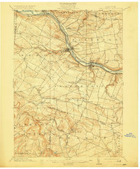
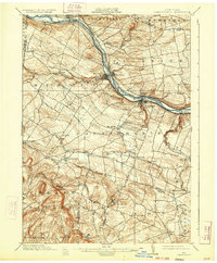
The Mohawk River corridor serves as the industrial and transportation spine of this region at the turn of the century, where the Erie Canal and competing rail lines like the New York Central and Hudson River R. R. run parallel through the valley. The twin settlements of Ft. Plain and Nelliston stand as central hubs, while Canajoharie anchors the southern bend of the river. This landscape is a complex network of 18th-century heritage and 19th-century infrastructure, evidenced by the Palatine Church north of the river and the sprawling agricultural uplands surrounding Stone Arabia. To the south, the terrain climbs toward the mineral springs of Sharon Springs, a renowned Victorian-era resort destination accessible via the Delaware and Hudson R. R.. Smaller hamlets like Freysbush, Marshville, and Hessville dot the interior, connected by a web of local roads that follow the winding paths of Canajoharie Creek and Otsquago Creek.
Find a feature on this map
56 named features on this map. Tap any name to fly to it.
Don’t see what you’re looking for? This feature index may not catch every label — zoom into the map to look around manually.
Map Details
Editions of this 1902 Canajoharie Map
6 editions found
Other maps of this area

1896 · Fonda
USGS Topo · 1:62,500

1898 · Fonda
USGS Topo · 1:62,500

1898 · Canajoharie
USGS Topo · 1:62,500

1898 · Schoharie
USGS Topo · 1:62,500

1900 · Little Falls
USGS Topo · 1:62,500

1900 · Canajoharie
USGS Topo · 1:62,500

1900 · Schoharie
USGS Topo · 1:62,500

1901 · Lassellsville
USGS Topo · 1:62,500

1902 · Fonda
USGS Topo · 1:62,500

1903 · Richfield Springs
USGS Topo · 1:62,500