
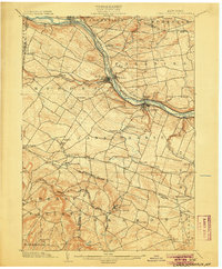
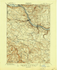
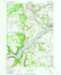
1902 Map of Canajoharie
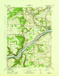
USGS Topo · Published 1902This historical map portrays the area of Canajoharie in 1902, primarily covering Montgomery County as well as portions of Schoharie County, Herkimer County, Otsego County, and Fulton County. Featuring a scale of 1:62500, this map provides a highly detailed snapshot of the terrain, roads, buildings, counties, and historical landmarks in the Canajoharie region at the time. Published in 1902, it is one of 6 known editions of this map due to revisions or reprints.
Find a feature on this map
56 named features on this map. Tap any name to fly to it.
Don’t see what you’re looking for? This feature index may not catch every label — zoom into the map to look around manually.
Map Details
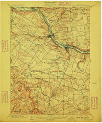
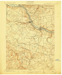
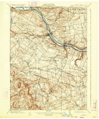
Editions of this 1902 Canajoharie Map
6 editions found
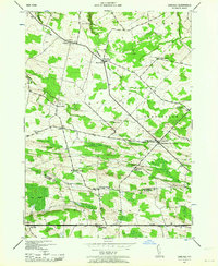
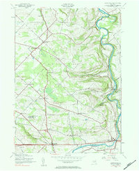
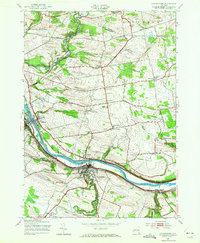
Historical Maps of Engleville Through Time
11 maps found

1898 Canajoharie
Montgomery County, NY

1900 Canajoharie
Montgomery County, NY
1902 Canajoharie
Montgomery County, NY
1943 Carlisle
Montgomery County, NY
1943 Esperance
Montgomery County, NY
1944 Canajoharie
Montgomery County, NY
1944 Randall
Montgomery County, NY
1945 Carlisle
Montgomery County, NY
1946 Canajoharie
Montgomery County, NY
1946 Esperance
Montgomery County, NY
1946 Randall
Montgomery County, NY