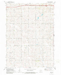
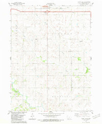
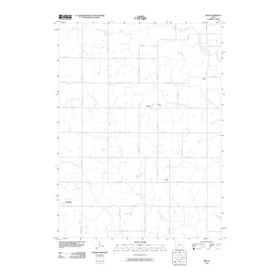
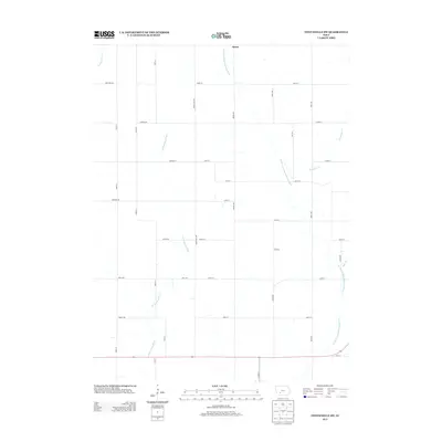
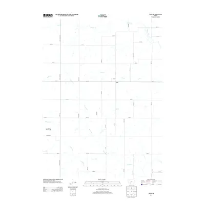
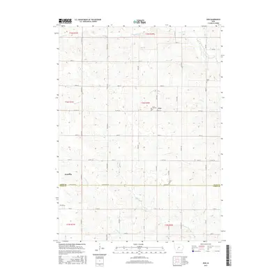
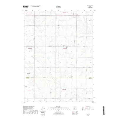
1971 Map of Canby
USGS Topo · Published 1986About this map
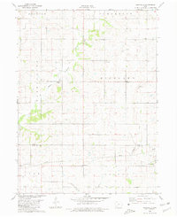
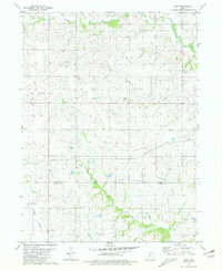
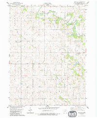
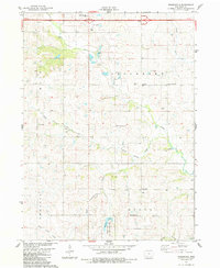
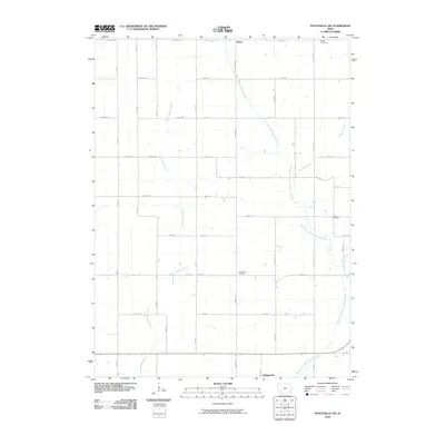
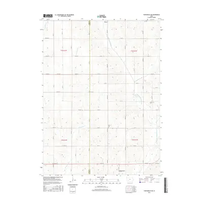
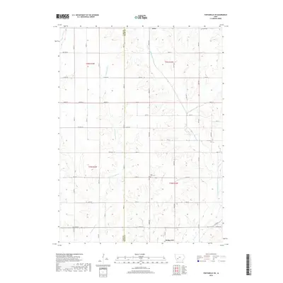
Middle Nodaway River drainage dominates this section of Adair County, where 1970s land patterns reflect a deeply agricultural landscape divided among the townships of Summit, Walnut, Eureka, and Prussia. The small settlement of Canby sits near the center of the sheet, serving as a local landmark in a region defined by its waterway network, including Turkey creek and Ninemile Creek. Genealogical interest is found in several established burial grounds, notably St Josephs Cem and Oakwood Cem in the northeast, as well as the southern Prussia Cem. The landscape is dotted with rural landmarks like Highland Ch and the Rutt Br, providing specific points of reference for family historians tracing early 20th-century farmsteads and rural community life before modern consolidation.
Find a feature on this map
19 named features on this map. Tap any name to fly to it.
Don’t see what you’re looking for? This feature index may not catch every label — zoom into the map to look around manually.
Map Details
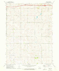
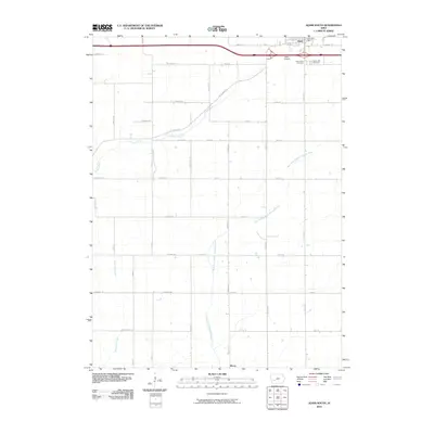
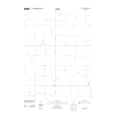
Editions of this 1971 Canby Map
2 editions found
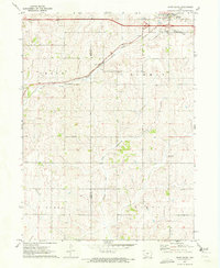
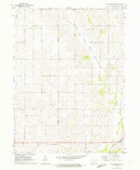
Historical Maps of Canby Through Time
48 maps found
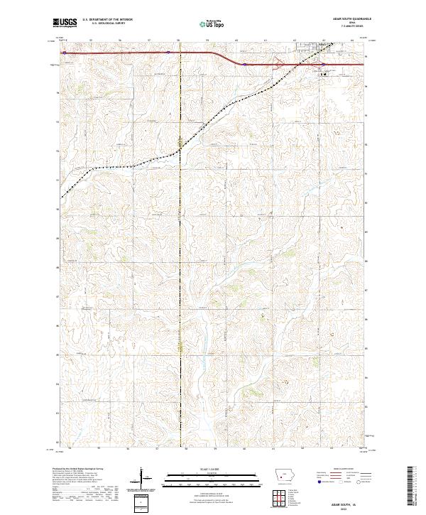
1971 Adair South
Adair County, IA
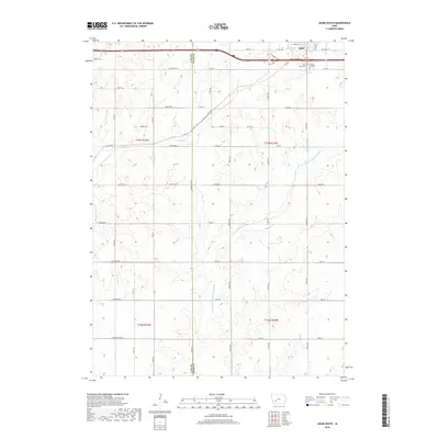
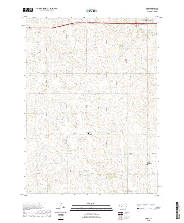
1971 Canby
Adair County, IA
1971 Fontanelle SW
Adair County, IA
1980 Nevinville
Adair County, IA
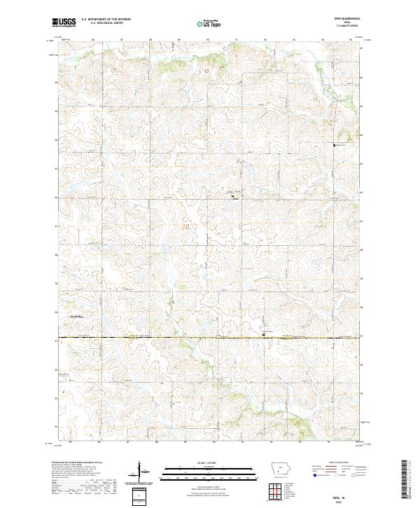
1981 Zion
Adair County, IA
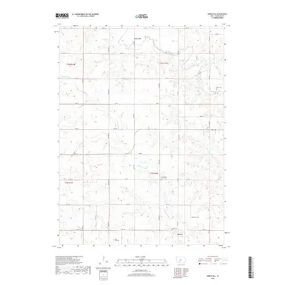
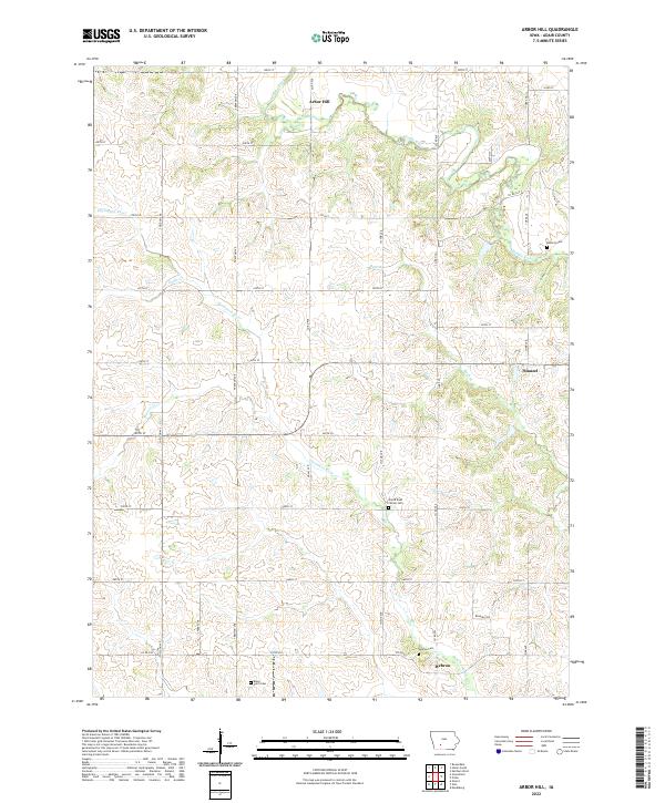
1983 Arbor Hill
Adair County, IA
1983 Rosserdale
Adair County, IA
1983 Stuart South
Adair County, IA
2010 Adair South
Adair County, IA
2010 Arbor Hill
Adair County, IA
2010 Canby
Adair County, IA
2010 Fontanelle SW
Adair County, IA
2010 Nevinville
Adair County, IA
2010 Rosserdale
Adair County, IA
2010 Stuart South
Adair County, IA
2010 Zion
Adair County, IA
2013 Adair South
Adair County, IA
2013 Arbor Hill
Adair County, IA
2013 Canby
Adair County, IA
2013 Fontanelle SW
Adair County, IA
2013 Nevinville
Adair County, IA
2013 Rosserdale
Adair County, IA
2013 Stuart South
Adair County, IA
2013 Zion
Adair County, IA
2015 Adair South
Adair County, IA
2015 Arbor Hill
Adair County, IA
2015 Canby
Adair County, IA
2015 Fontanelle SW
Adair County, IA
2015 Nevinville
Adair County, IA
2015 Rosserdale
Adair County, IA
2015 Stuart South
Adair County, IA
2015 Zion
Adair County, IA
2018 Adair South
Adair County, IA
2018 Arbor Hill
Adair County, IA
2018 Canby
Adair County, IA
2018 Fontanelle SW
Adair County, IA
2018 Nevinville
Adair County, IA
2018 Rosserdale
Adair County, IA
2018 Stuart South
Adair County, IA
2018 Zion
Adair County, IA
2022 Adair South
Adair County, IA
2022 Arbor Hill
Adair County, IA
2022 Canby
Adair County, IA
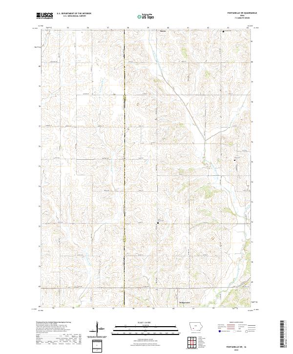
2022 Fontanelle SW
Adair County, IA
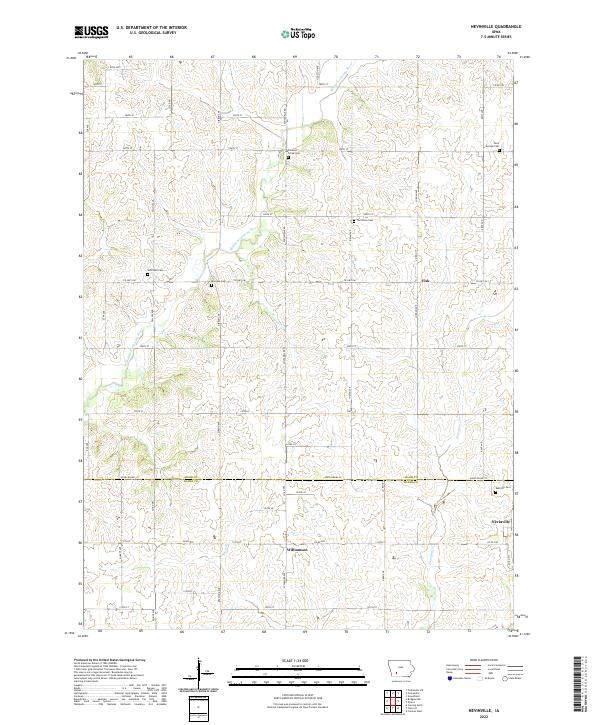
2022 Nevinville
Adair County, IA
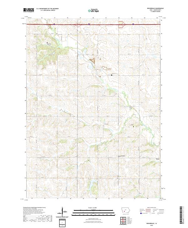
2022 Rosserdale
Adair County, IA
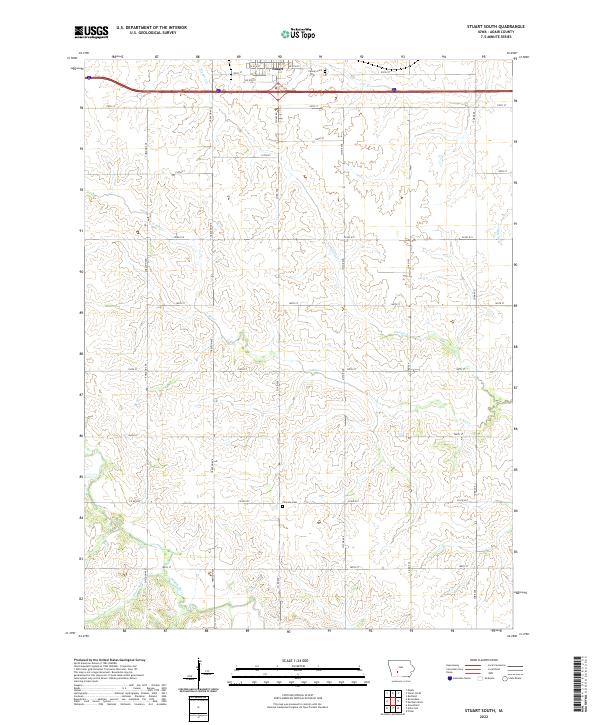
2022 Stuart South
Adair County, IA
2022 Zion
Adair County, IA