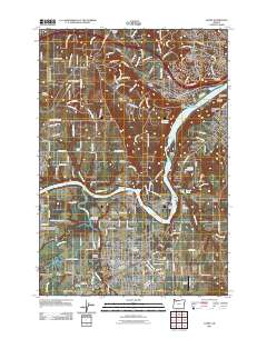
2011 Map of Canby
USGS Topo · Published 2011About this map
The Willamette River and Molalla River converge in this transition zone between suburban growth and agricultural heritage. The landscape is marked by historical river crossings and landings, such as the Canby Ferry and Buchmans Landing, illustrating the enduring importance of water transport even as the Union Pacific railroad and modern highways reshaped local commerce. This survey captures Canby as a regional hub, featuring the Clackamas County Fairgrounds and the Oregon State University Experimental Station, while preserving the locations of numerous pioneer burial grounds including Baker Prairie Cemetery and Robert Bird Cemetery. From the heights of Petes Mountain to the low-lying New Era Bar, the map documents a complex network of family-named roads and established settlements like Stafford, Barlow, and New Era.
Find a feature on this map
164 named features on this map. Tap any name to fly to it.
Don’t see what you’re looking for? This feature index may not catch every label — zoom into the map to look around manually.
Map Details
Editions of this 2011 Canby Map
This is the sole edition of this map. No revisions or reprints were ever made.
Other maps of this area

1914 · Oregon City
USGS Topo · 1:62,500

1916 · Tualatin
USGS Topo · 1:62,500

1923 · Mount Angel
USGS Topo · 1:62,500

1939 · Molalla
USGS Topo · 1:62,500

1939 · Oregon City
USGS Topo · 1:62,500

1939 · Tualatin
USGS Topo · 1:62,500

1940 · Tualatin
USGS Topo · 1:62,500

1940 · Molalla
USGS Topo · 1:62,500

1940 · Mount Angel
USGS Topo · 1:62,500

1941 · Oregon City
USGS Topo · 1:62,500