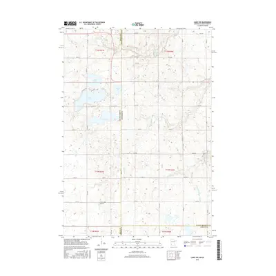
2016 Map of Canby NW
USGS Topo · Published 2016About this map
The Coteau des Prairies plateau forms the foundation of this landscape along the South Dakota and Minnesota border, where the glacial geography has created a dense collection of lakes and wetlands. Prominent water bodies such as Lake Cochrane, Lake Oliver, and Culver Lake define the northwestern corner of the quadrangle, while the southern reaches are marked by the winding courses of Canby Cr and Lazarus Cr. This 2016 survey shows a territory dominated by agricultural grid lines and rural road networks like Co Rd 375 and Co Hwy 36. Genealogists may find interest in the Fortier Cem located near the eastern boundary. The intricate drainage patterns, including South Slough and the engineered County Ditch Number Fifty-five, illustrate how the natural prairie hydrology has been managed within the modern farming economy of Deuel and Yellow Medicine counties.
Find a feature on this map
38 named features on this map. Tap any name to fly to it.
Don’t see what you’re looking for? This feature index may not catch every label — zoom into the map to look around manually.
Map Details
Editions of this 2016 Canby NW Map
This is the sole edition of this map. No revisions or reprints were ever made.
Other maps of this area

1953 · Watertown
USGS Topo · 1:250,000

1958 · Watertown
USGS Topo · 1:250,000

1967 · Canby
USGS Topo · 1:24,000

1967 · Gary
USGS Topo · 1:24,000

1967 · Canby NW
USGS Topo · 1:24,000

1967 · Gary SE
USGS Topo · 1:24,000

1967 · Canby SE
USGS Topo · 1:24,000

1967 · Hendricks
USGS Topo · 1:24,000

1970 · Brandt
USGS Topo · 1:24,000

1970 · Astoria
USGS Topo · 1:24,000
Featured Places
- Scandinavia Township, SD
- Herrick Township, SD
- Norden Township, SD
- Yellow Medicine County, MN
- Deuel County, SD