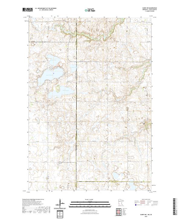
2022 Map of Canby NW
USGS Topo · Published 2022About this map
The Coteau des Prairies plateau dominates this section of the Minnesota and South Dakota borderlands, a landscape defined by its glacial heritage and numerous prairie potholes. Prominent water bodies such as Lake Cochrane, Lake Oliver, and Culver Lake sit along the western edge of the quadrangle, where a network of county roads like Co Rd 516 and Dakota Trl provide access to the lakeshores. These lakes are vital hydrological features in an area otherwise characterized by intermittent drainage systems like Cobb Cr and Lazarus Cr.
Find a feature on this map
51 named features on this map. Tap any name to fly to it.
Don’t see what you’re looking for? This feature index may not catch every label — zoom into the map to look around manually.
Map Details
Editions of this 2022 Canby NW Map
This is the sole edition of this map. No revisions or reprints were ever made.
Other maps of this area

1953 · Watertown
USGS Topo · 1:250,000

1958 · Watertown
USGS Topo · 1:250,000

1967 · Canby
USGS Topo · 1:24,000

1967 · Gary
USGS Topo · 1:24,000

1967 · Canby NW
USGS Topo · 1:24,000

1967 · Gary SE
USGS Topo · 1:24,000

1967 · Canby SE
USGS Topo · 1:24,000

1967 · Hendricks
USGS Topo · 1:24,000

1970 · Brandt
USGS Topo · 1:24,000

1970 · Astoria
USGS Topo · 1:24,000
Featured Places
- Scandinavia Township, SD
- Norden Township, SD
- Herrick Township, SD
- Yellow Medicine County, MN
- Deuel County, SD