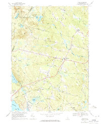
1969 Map of Candia
USGS Topo · Published 1971About this map
Bear Brook State Park dominates the northern reaches of this Rockingham County landscape, where the Merrimack Co Rockingham Co line divides the hills. The regional transport network of the late 1960s is anchored by the Boston and Maine Railroad, which cuts a path through Hooks Crossing and East Candia. To the south, the waters of Massabesic Lake and Little Massabesic Lake define the terrain near Auburn.
Find a feature on this map
64 named features on this map. Tap any name to fly to it.
Don’t see what you’re looking for? This feature index may not catch every label — zoom into the map to look around manually.
Map Details
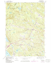
Editions of this 1969 Candia Map
2 editions found
Other maps of this area

1888 · Haverhill
USGS Topo · 1:62,500

1890 · Haverhill
USGS Topo · 1:62,500

1893 · Haverhill
USGS Topo · 1:62,500

1905 · Manchester
USGS Topo · 1:62,500

1917 · Mt. Pawtuckaway
USGS Topo · 1:62,500

1919 · Mt. Pawtuckaway
USGS Topo · 1:62,500

1921 · Suncook
USGS Topo · 1:62,500

1935 · Haverhill
USGS Topo · 1:62,500

1939 · Mt. Pawtuckaway
USGS Topo · 1:62,500

1941 · Manchester
USGS Topo · 1:62,500