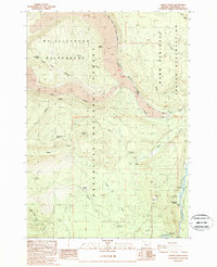
1988 Map of Candle Creek
USGS Topo · Published 1988About this map
Metolius River frontage and the high-elevation terrain of Jefferson County define this landscape as it was documented in the late 1980s. The map illustrates a complex intersection of administrative boundaries, where the eastern edge of the Mt Jefferson Wilderness meets the Deschutes National Forest and the Warm Springs Indian Reservation. Along the riverbanks, the Wizard Falls State Fish Hatchery stands near Wizard Falls, marking a point of human activity amidst the largely undeveloped mountain forest.
Find a feature on this map
34 named features on this map. Tap any name to fly to it.
Don’t see what you’re looking for? This feature index may not catch every label — zoom into the map to look around manually.
Map Details
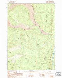
Editions of this 1988 Candle Creek Map
2 editions found
Other maps of this area

1927 · Mt. Jefferson
USGS Topo · 1:125,000

1929 · Three Sisters
USGS Topo · 1:125,000

1930 · Mt. Jefferson
USGS Topo · 1:125,000

1932 · Three Sisters
USGS Topo · 1:125,000

1955 · Bend
USGS Topo · 1:250,000

1957 · Bend
USGS Topo · 1:250,000

1958 · Bend
USGS Topo · 1:250,000

1959 · Three Fingered Jack
USGS Topo · 1:62,500

1959 · Sisters
USGS Topo · 1:62,500

1961 · Whitewater River
USGS Topo · 1:62,500