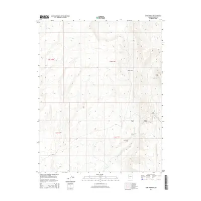
2014 Map of Cane Springs SE
USGS Topo · Published 2014About this map
Grand Wash Cliffs dominate this portion of Mohave County, where the high desert plateau begins its descent toward the Grand Wash Valley. This 2014 survey documents a rugged and largely undeveloped landscape characterized by dramatic vertical relief, from the heights of Mud Mtn and Hidden Rim down to the drainage networks of Pocum Wash and the primary Grand Wash corridor. The geography is defined by narrow passages like Jump Canyon and Black Canyon, which illustrate the complex erosional patterns of the Arizona Strip. Human intervention is minimal, represented primarily by the winding track of CR 111, which provides the only major navigational reference through these public lands. The map serves as a detailed record of the natural terrain and elevation benchmarks such as Tweeds Points before modern environmental shifts or land-use changes.
Find a feature on this map
15 named features on this map. Tap any name to fly to it.
Don’t see what you’re looking for? This feature index may not catch every label — zoom into the map to look around manually.
Map Details
Editions of this 2014 Cane Springs SE Map
This is the sole edition of this map. No revisions or reprints were ever made.
Other maps of this area

1886 · Mt. Trumbull
USGS Topo · 1:250,000

1892 · Mt. Trumbull
USGS Topo · 1:250,000

1953 · Grand Canyon
USGS Topo · 1:250,000

1954 · Littlefield 3 SW
USGS Topo · 1:24,000

1954 · Littlefield 3 NE
USGS Topo · 1:24,000
1954 · Littlefield 3 SE
USGS Topo · 1:24,000

1954 · Cane Springs
USGS Topo · 1:62,500

1957 · Grand Canyon
USGS Topo · 1:250,000

1958 · Grand Canyon
USGS Topo · 1:250,000

1960 · Grand Canyon
USGS Topo · 1:250,000