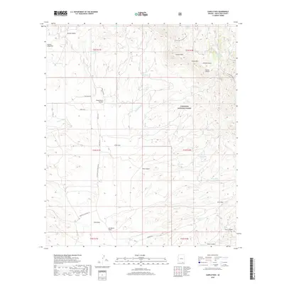
2018 Map of Canelo Pass
USGS Topo · Published 2018About this map
The Coronado National Forest dominates this landscape in southeastern Arizona, where the Canelo Hills provide a backdrop for a complex network of canyons and draws. Cattle ranching and water management are evident through numerous tanks and springs, such as Bog Hole Tank, Headquarters Tank, and Paloma Spring. This 2018 survey captures the intersection of high-desert terrain and specialized land use, including the Arizona National Scenic Trail as it winds through the northern hills. To the south, the terrain opens into the San Rafael Valley, a broad expanse defined by drainage features like Chino Draw and Mowry Wash. Access is maintained through forest and ranch roads, including San Rafael Valley Road (FR 58) and Duquesne Rd, which connect these canyons to the broader regional topography near Parker Canyon.
Find a feature on this map
53 named features on this map. Tap any name to fly to it.
Don’t see what you’re looking for? This feature index may not catch every label — zoom into the map to look around manually.
Map Details
Editions of this 2018 Canelo Pass Map
This is the sole edition of this map. No revisions or reprints were ever made.
Other maps of this area

1904 · Patagonia
USGS Topo · 1:125,000

1905 · Patagonia
USGS Topo · 1:125,000

1905 · Nogales
USGS Topo · 1:125,000

1914 · Hereford
USGS Topo · 1:125,000

1915 · Benson
USGS Topo · 1:125,000

1922 · Sunnyside
USGS Topo · 1:62,500

1932 · Lochiel
USGS Topo · 1:62,500

1932 · Elgin
USGS Topo · 1:62,500

1938 · Huachuca
USGS Topo · 1:62,500

1938 · Sunnyside
USGS Topo · 1:62,500