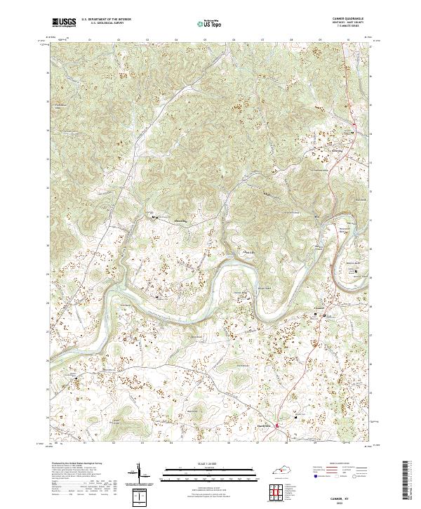
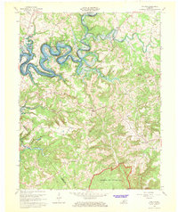
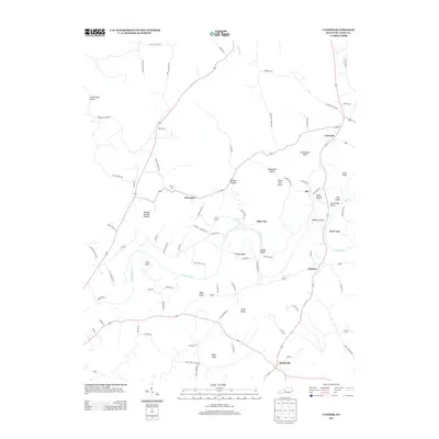
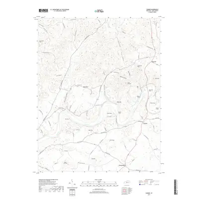
2022 Map of Canmer
USGS Topo · Published 2022About this map
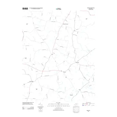
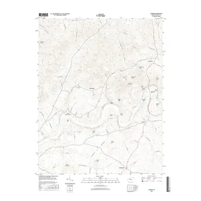
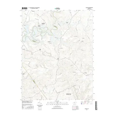
The Green River carves a winding path through Hart County, creating a series of dramatic landforms including Horseshoe Bend, Sims Bend, and Thomas Bend. This fluvial landscape is dotted with islands like Watkins Island and Armour Island, while the surrounding terrain is defined by prominent elevations such as Frenchman Knob and Three Kiln Knob. The settlement pattern reflects a rural Kentucky history, centered around small communities like Canmer, Hardyville, and Linwood.
Find a feature on this map
91 named features on this map. Tap any name to fly to it.
Don’t see what you’re looking for? This feature index may not catch every label — zoom into the map to look around manually.
Map Details
Editions of this 2022 Canmer Map
This is the sole edition of this map. No revisions or reprints were ever made.
Historical Maps of Glen Lily Through Time
19 maps found
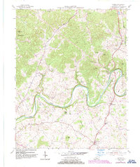
1953 Canmer
Hart County, KY
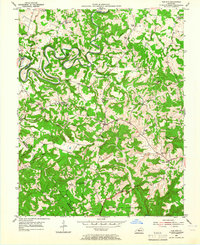
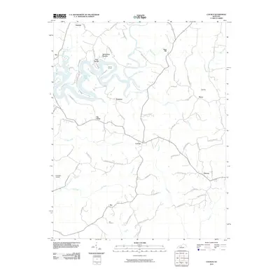
1954 Cub Run
Hart County, KY
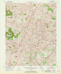
1954 Park
Hart County, KY
1966 Cub Run
Hart County, KY
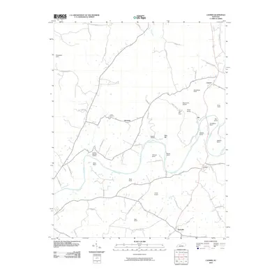
2010 Canmer
Hart County, KY
2010 Cub Run
Hart County, KY
2010 Park
Hart County, KY
2013 Canmer
Hart County, KY

2013 Cub Run
Hart County, KY
2013 Park
Hart County, KY
2016 Canmer
Hart County, KY
2016 Cub Run
Hart County, KY
2016 Park
Hart County, KY
2019 Canmer
Hart County, KY
2019 Cub Run
Hart County, KY
2019 Park
Hart County, KY
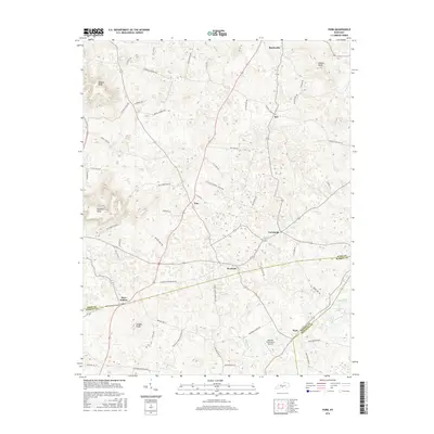
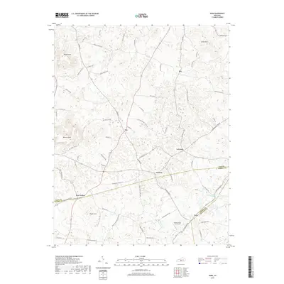
2022 Canmer
Hart County, KY
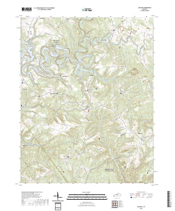
2022 Cub Run
Hart County, KY
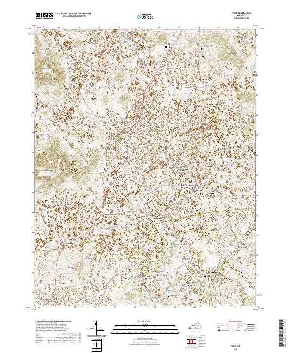
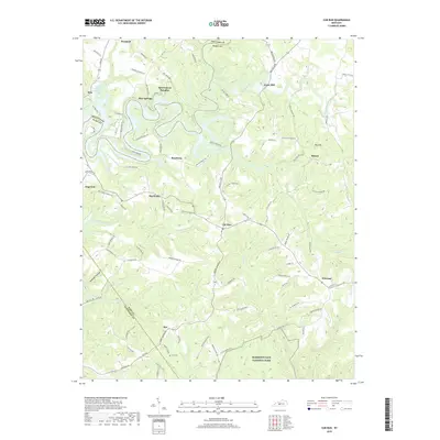
2022 Park
Hart County, KY