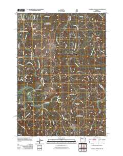
2011 Map of Cannibal Mountain
USGS Topo · Published 2011About this map
The North Fork Yachats River and the main stem of the Yachats River converge in this forested section of Lane County, defining a landscape of narrow valleys and high ridges. The settlement of Upper Yachats serves as the local hub, marked by the presence of the Upper Yachats School near the junction of several drainage systems. To the north, the terrain rises toward the prominent peaks of Burnt Timber Mountain and Cannibal Mountain, which overlook a complex network of tributaries including Canal Creek and Glines Creek. The area's geography is characterized by several distinct ridges, such as Howell Ridge, Seits Ridge, and Malcolm Ridge, which divide the various forks of the river system. The 2011 survey illustrates a land primarily used for forestry and recreation, with Durbin Meadows and numerous creek forks like School Fork showing the intricate drainage patterns of the Coast Range.
Find a feature on this map
46 named features on this map. Tap any name to fly to it.
Don’t see what you’re looking for? This feature index may not catch every label — zoom into the map to look around manually.
Map Details
Editions of this 2011 Cannibal Mountain Map
This is the sole edition of this map. No revisions or reprints were ever made.
Other maps of this area

1918 · Mapleton
USGS Topo · 1:48,000

1920 · Heceta Head
USGS Topo · 1:62,500

1922 · Waldport
USGS Topo · 1:62,500

1940 · Mapleton
USGS Topo · 1:62,500

1942 · Waldport
USGS Topo · 1:62,500

1942 · Heceta Head
USGS Topo · 1:62,500

1942 · Tidewater
USGS Topo · 1:62,500

1945 · Mapleton
USGS Topo · 1:62,500

1953 · Salem
USGS Topo · 1:250,000

1954 · Salem
USGS Topo · 1:250,000