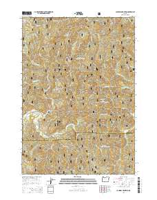
2014 Map of Cannibal Mountain
USGS Topo · Published 2014About this map
The Siuslaw National Forest dominates this section of the Oregon Coast Range, where the drainage basins of the Yachats River and Canal Cr intersect. The landscape is defined by a series of prominent elevations, including Cannibal Mountain, Burnt Timber Mtn, and several high ridges such as Yachats Ridge and Seits Ridge. This 2014 survey details the complex network of forest development roads, such as Nat For Dev Rd 53 and Nat For Dev Rd 5800, that provide access to this timber-rich interior. The transition across the Lincoln and Lane County line is marked by a shift from the northern tributaries like Sudan Cr to the southern reaches of Durbin Meadows and Malcolm Ridge. These features illustrate the managed forest environment and the heavy reliance on named forest service routes for navigation through the dense drainage networks of School Fork and Williamson Cr.
Find a feature on this map
53 named features on this map. Tap any name to fly to it.
Don’t see what you’re looking for? This feature index may not catch every label — zoom into the map to look around manually.
Map Details
Editions of this 2014 Cannibal Mountain Map
This is the sole edition of this map. No revisions or reprints were ever made.
Other maps of this area

1918 · Mapleton
USGS Topo · 1:48,000

1920 · Heceta Head
USGS Topo · 1:62,500

1922 · Waldport
USGS Topo · 1:62,500

1940 · Mapleton
USGS Topo · 1:62,500

1942 · Waldport
USGS Topo · 1:62,500

1942 · Heceta Head
USGS Topo · 1:62,500

1942 · Tidewater
USGS Topo · 1:62,500

1945 · Mapleton
USGS Topo · 1:62,500

1953 · Salem
USGS Topo · 1:250,000

1954 · Salem
USGS Topo · 1:250,000