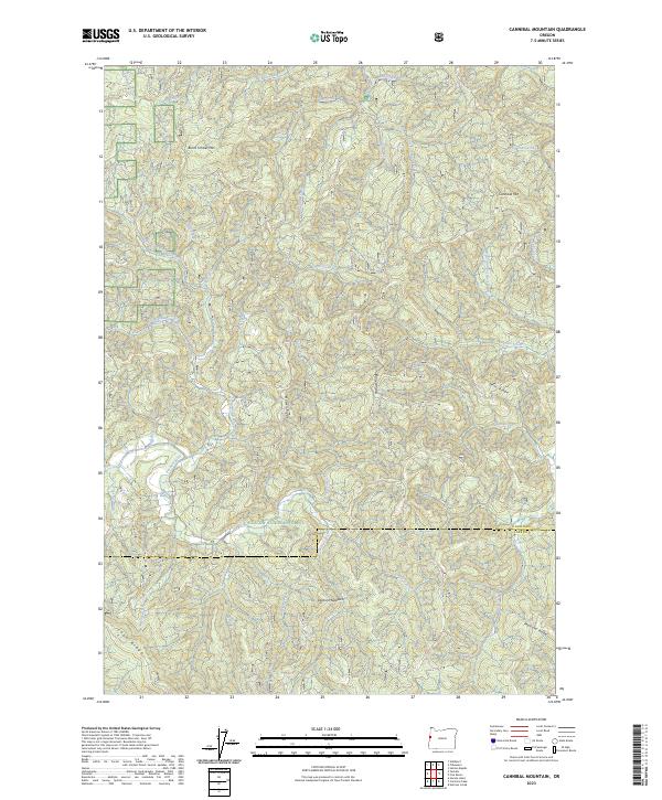
2023 Map of Cannibal Mountain
USGS Topo · Published 2023About this map
The Siuslaw National Forest blankets this corner of the Coast Range, where a dense network of watercourses feeds the Yachats River and Canal Creek systems. This map shows the heavily ridged landscape at the boundary of Lincoln and Lane counties, dominated by prominent summits such as Cannibal Mtn and Burnt Timber Mtn. The terrain is defined by a series of steep drainages, including the North Fork Yachats River and Axtell Creek, which carve through the high ground of Yachats Ridge and Howell Ridge.
Find a feature on this map
41 named features on this map. Tap any name to fly to it.
Don’t see what you’re looking for? This feature index may not catch every label — zoom into the map to look around manually.
Map Details
Editions of this 2023 Cannibal Mountain Map
This is the sole edition of this map. No revisions or reprints were ever made.
Other maps of this area

1918 · Mapleton
USGS Topo · 1:48,000

1920 · Heceta Head
USGS Topo · 1:62,500

1922 · Waldport
USGS Topo · 1:62,500

1940 · Mapleton
USGS Topo · 1:62,500

1942 · Waldport
USGS Topo · 1:62,500

1942 · Heceta Head
USGS Topo · 1:62,500

1942 · Tidewater
USGS Topo · 1:62,500

1945 · Mapleton
USGS Topo · 1:62,500

1953 · Salem
USGS Topo · 1:250,000

1954 · Salem
USGS Topo · 1:250,000