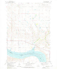
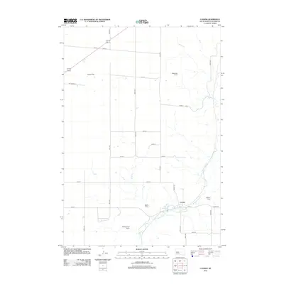
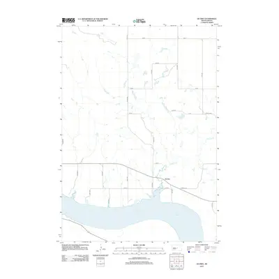
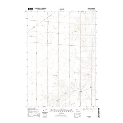
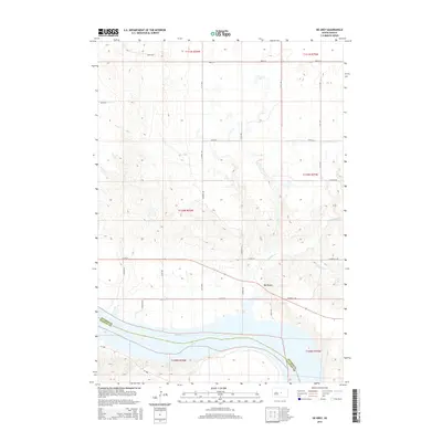
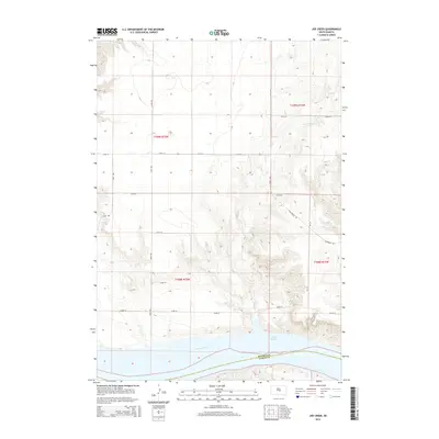
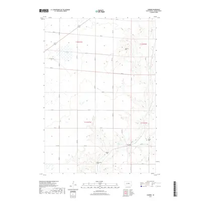
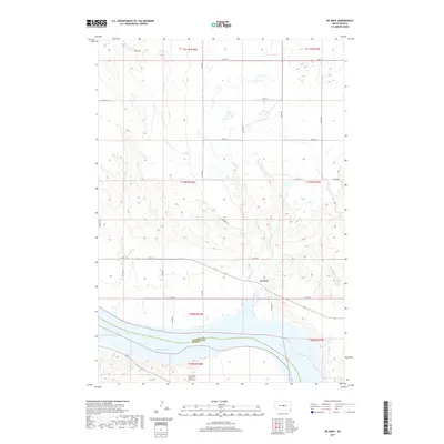
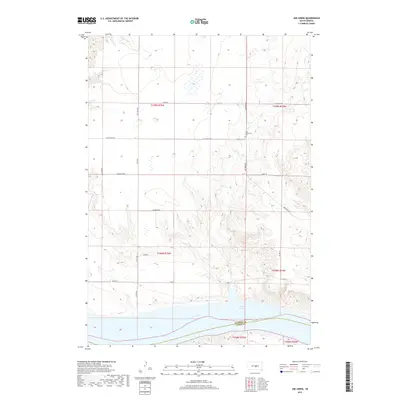
1937 Map of Canning
USGS Topo · Published 1950About this map
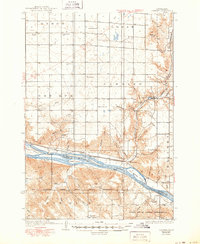
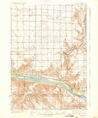
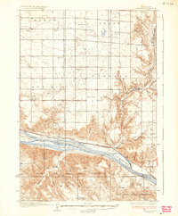
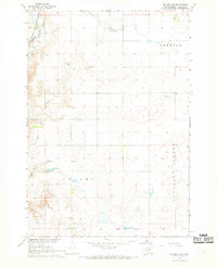
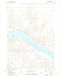
The Missouri River carves a deep valley through the center of this Great Plains landscape, creating a stark divide between the tablelands of Byron and Logan to the north and the Lower Brule Indian Reservation to the south. Small settlements and specialized agriculture define the area, from the town of Canning and the riverside community of Rousseau to isolated operations like the Pietrus Ranch, Body Ranch, and the evocatively named White Palace.
Find a feature on this map
50 named features on this map. Tap any name to fly to it.
Don’t see what you’re looking for? This feature index may not catch every label — zoom into the map to look around manually.
Map Details
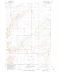
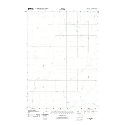
Editions of this 1937 Canning Map
3 editions found
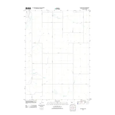
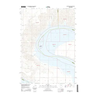
Historical Maps of Alto Through Time
63 maps found

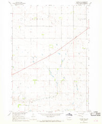
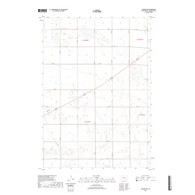
1934 Canning
Hughes County, SD
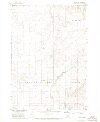
1937 Canning
Hughes County, SD

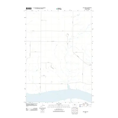
1966 Joe Creek
Hughes County, SD

1966 Lower Brule NW
Hughes County, SD
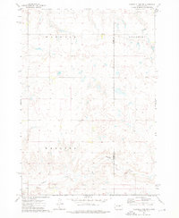
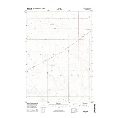
1967 Canning
Hughes County, SD
1967 Canning NW
Hughes County, SD
1967 De Grey NE
Hughes County, SD
1967 De Grey NW
Hughes County, SD

1967 Pierre NE
Hughes County, SD
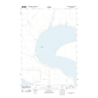
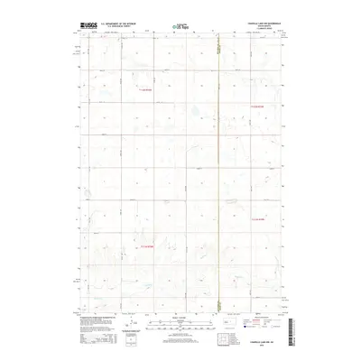
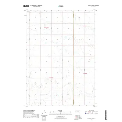
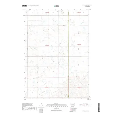
1973 Chapelle Lake NW
Hughes County, SD

1973 Chapelle Lake SW
Hughes County, SD
1973 De Grey
Hughes County, SD
1973 De Grey SE
Hughes County, SD
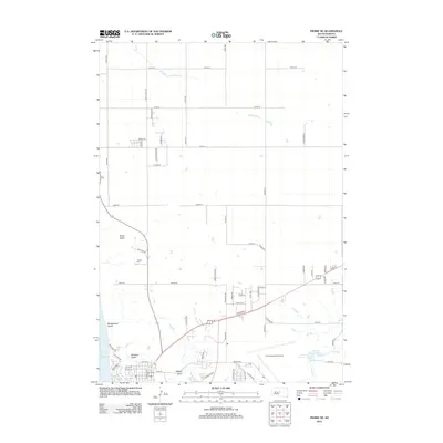
1973 Rousseau
Hughes County, SD
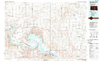
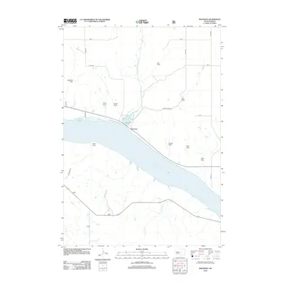
1985 Big Bend Dam
Hughes County, SD
2012 Canning
Hughes County, SD
2012 Canning NW
Hughes County, SD
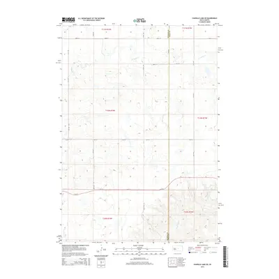
2012 Chapelle Lake NW
Hughes County, SD
2012 Chapelle Lake SW
Hughes County, SD
2012 De Grey
Hughes County, SD
2012 De Grey NE
Hughes County, SD
2012 De Grey NW
Hughes County, SD
2012 De Grey SE
Hughes County, SD
2012 Joe Creek
Hughes County, SD
2012 Lower Brule NW
Hughes County, SD
2012 Pierre NE
Hughes County, SD
2012 Rousseau
Hughes County, SD
2015 Canning
Hughes County, SD
2015 Canning NW
Hughes County, SD
2015 Chapelle Lake NW
Hughes County, SD
2015 Chapelle Lake SW
Hughes County, SD
2015 De Grey
Hughes County, SD
2015 De Grey NE
Hughes County, SD
2015 De Grey NW
Hughes County, SD
2015 De Grey SE
Hughes County, SD
2015 Joe Creek
Hughes County, SD
2015 Lower Brule NW
Hughes County, SD
2015 Pierre NE
Hughes County, SD
2015 Rousseau
Hughes County, SD
2017 Canning
Hughes County, SD
2017 Canning NW
Hughes County, SD
2017 Chapelle Lake NW
Hughes County, SD
2017 Chapelle Lake SW
Hughes County, SD
2017 De Grey
Hughes County, SD
2017 De Grey NE
Hughes County, SD
2017 De Grey NW
Hughes County, SD
2017 De Grey SE
Hughes County, SD
2017 Joe Creek
Hughes County, SD
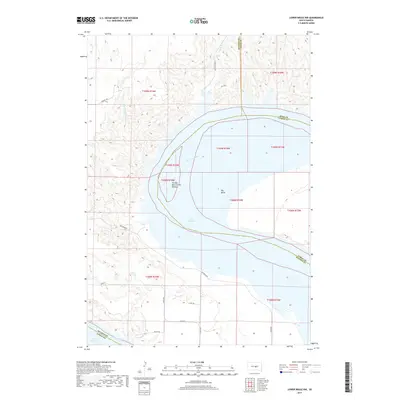
2017 Lower Brule NW
Hughes County, SD
2017 Pierre NE
Hughes County, SD
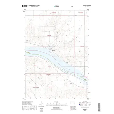
2017 Rousseau
Hughes County, SD
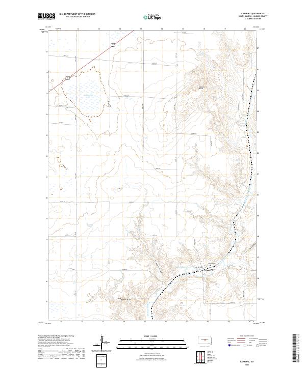
2021 Canning
Hughes County, SD
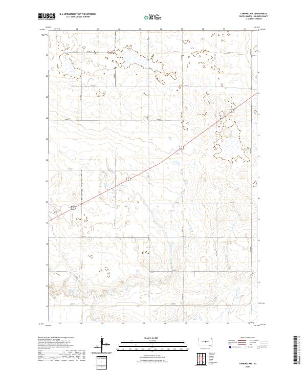
2021 Canning NW
Hughes County, SD
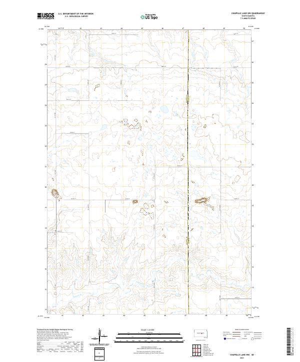
2021 Chapelle Lake NW
Hughes County, SD
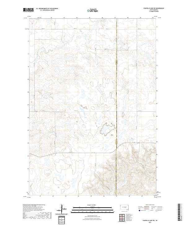
2021 Chapelle Lake SW
Hughes County, SD
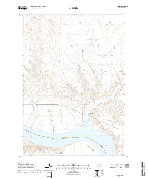
2021 De Grey
Hughes County, SD
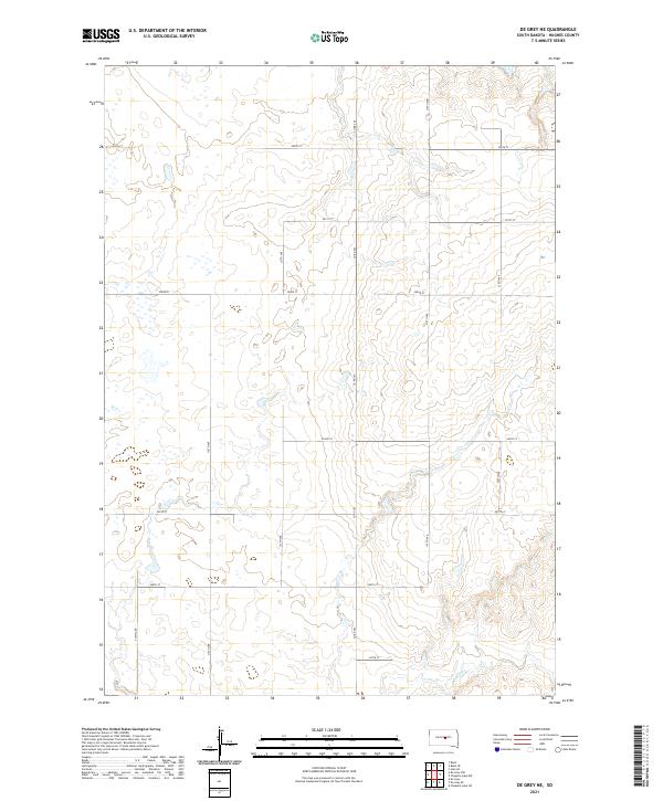
2021 De Grey NE
Hughes County, SD
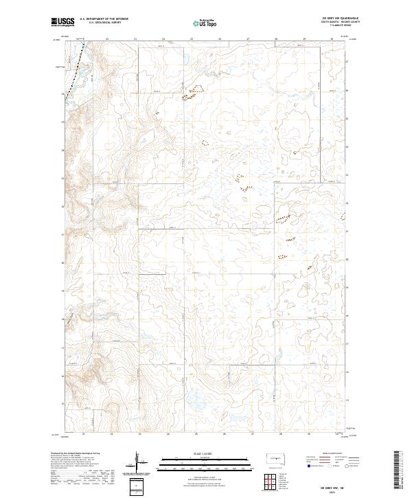
2021 De Grey NW
Hughes County, SD
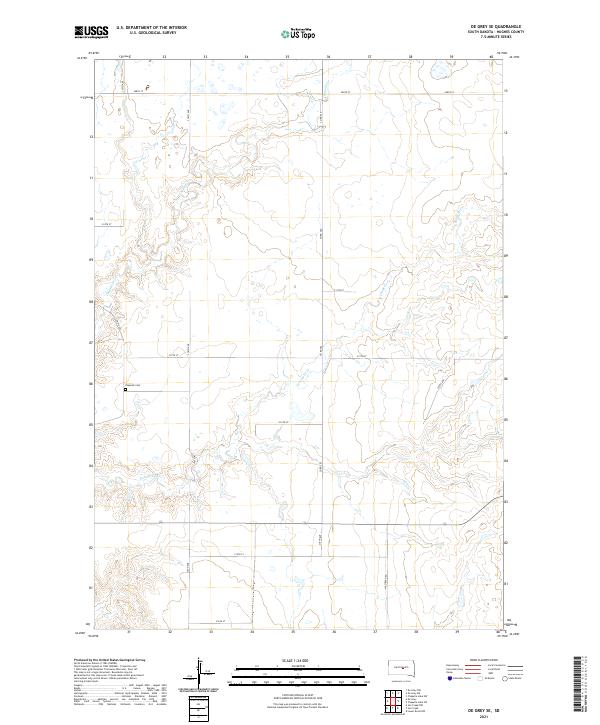
2021 De Grey SE
Hughes County, SD
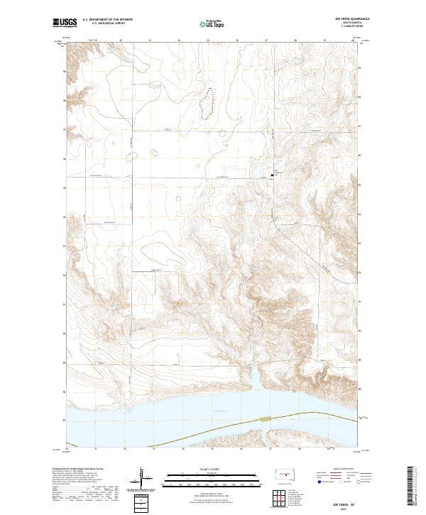
2021 Joe Creek
Hughes County, SD
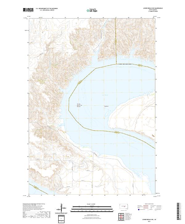
2021 Lower Brule NW
Hughes County, SD
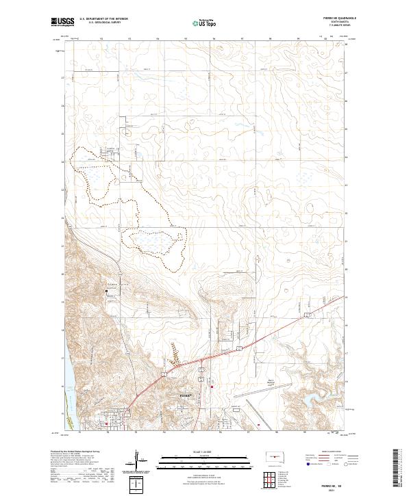
2021 Pierre NE
Hughes County, SD
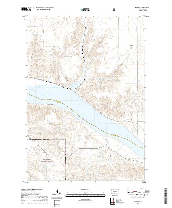
2021 Rousseau
Hughes County, SD