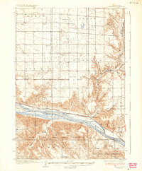
1937 Map of Canning
USGS Topo · Published 1937About this map
Missouri River currents dominate this 1930s landscape, carrying the eye past a series of large mid-river landmarks including Farm Island, Antelope Island, and Fort George Island. Along the northern banks, the village of Canning and the riverside stop of Rousseau sit on the Chicago and Northwestern rail line, serving a ranching economy defined by family holdings such as the Pietrus Ranch, Body Ranch, and the descriptively named Seldom Seen Ranch.
Find a feature on this map
41 named features on this map. Tap any name to fly to it.
Don’t see what you’re looking for? This feature index may not catch every label — zoom into the map to look around manually.
Map Details
Editions of this 1937 Canning Map
3 editions found
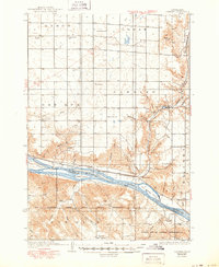
Other maps of this area

1924 · Pierre
USGS Topo · 1:62,500

1934 · Canning
USGS Topo · 1:48,000

1937 · Canning
USGS Topo · 1:62,500

1953 · Huron
USGS Topo · 1:250,000

1954 · Pierre
USGS Topo · 1:250,000

1954 · Huron
USGS Topo · 1:250,000

1958 · Pierre
USGS Topo · 1:250,000

1966 · Joe Creek NW
USGS Topo · 1:24,000

1967 · Pierre NE
USGS Topo · 1:24,000

1967 · Canning
USGS Topo · 1:24,000