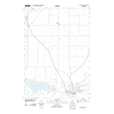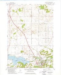
1974 Map of Cannon Falls
USGS Topo · Published 1978About this map
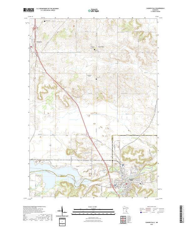
Cannon River waters dominate the southern portion of this landscape, widening into Lake Byllesby as it approaches the city of Cannon Falls. This mid-1970s survey illustrates a region defined by its transition from the agricultural plateaus of Hampton and Douglas townships into the wooded bluffs of the Richard J Dorer State Hardwood Forest. The settlement pattern follows the established corridors of the Chicago and North Western railroad and several arterial roads like Northfield Blvd and Goodwin Avenue. Local life is anchored by small communities such as New Trier and Hampton, while recreation areas like Lake Byllesby County Park and the Cannon Country Club suggest the area's development beyond simple grain farming. Notable landmarks for genealogical research include Zion Cem and Lakeside Cem, along with the rural Townhall located centrally in the township.
Find a feature on this map
45 named features on this map. Tap any name to fly to it.
Don’t see what you’re looking for? This feature index may not catch every label — zoom into the map to look around manually.
Map Details
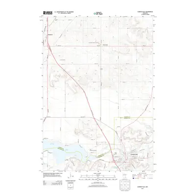
Editions of this 1974 Cannon Falls Map
This is the sole edition of this map. No revisions or reprints were ever made.
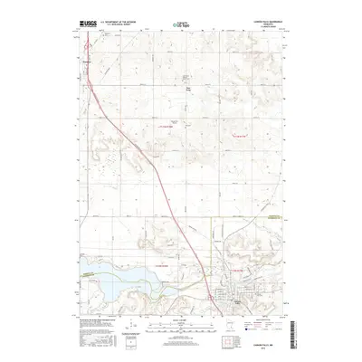
Historical Maps of Cannon Falls Through Time
6 maps found