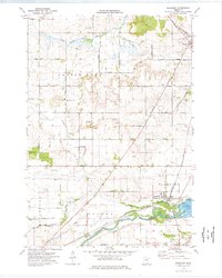
1974 Map of Randolph
USGS Topo · Published 1976About this map
The Cannon River and Lake Byllesby anchor the southern landscape of this mid-1970s survey, where the Chicago and North Western railroad corridors intersect at the village of Randolph. This rural agricultural district in Dakota Co and Goodhue Co is defined by a dense grid of numbered section roads and the winding paths of the Vermillion River and Chub Creek. Local history is preserved through numerous rural burial grounds, including St Mathias Cem near Hampton and Castle Rock Valley Cem. The map illustrates a landscape transitioning from traditional farming to specialized land use, evidenced by scattered Gravel Pits and a Radio Tower near Hillcrest Cem. Leisure and utility coexist at the lake, where a Public Beach sits just east of the Randolph settlement and its municipal infrastructure.
Find a feature on this map
45 named features on this map. Tap any name to fly to it.
Don’t see what you’re looking for? This feature index may not catch every label — zoom into the map to look around manually.
Map Details
Editions of this 1974 Randolph Map
This is the sole edition of this map. No revisions or reprints were ever made.
Other maps of this area

1953 · Saint Paul
USGS Topo · 1:250,000

1957 · Farmington
USGS Topo · 1:62,500

1957 · Hastings
USGS Topo · 1:62,500

1959 · Saint Paul
USGS Topo · 1:250,000

1960 · Northfield
USGS Topo · 1:24,000

1960 · Dennison
USGS Topo · 1:24,000

1968 · Sogn
USGS Topo · 1:24,000
1974 · Coates
USGS Topo · 1:24,000
1974 · Castle Rock
USGS Topo · 1:24,000
1974 · Farmington
USGS Topo · 1:24,000