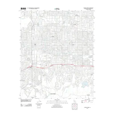
2012 Map of Canoga Park
USGS Topo · Published 2012About this map
The Los Angeles River begins its course through the heart of the San Fernando Valley, shaped by the engineered hydrology of the Sepulveda Flood Control Basin and several mountain washes. This suburban landscape is defined by the rigid grid of the northern valley, anchored by the California State University Northridge Campus and the established communities of Northridge, Reseda, and Canoga Park. In the south, the terrain shifts into the foothills where the Chalk Hills rise and residential streets follow the more winding contours of the Santa Monica Mountains near Woodland Hills and Tarzana.
Find a feature on this map
116 named features on this map. Tap any name to fly to it.
Don’t see what you’re looking for? This feature index may not catch every label — zoom into the map to look around manually.
Map Details
Editions of this 2012 Canoga Park Map
This is the sole edition of this map. No revisions or reprints were ever made.
Other maps of this area

1894 · Los Angeles
USGS Topo · 1:62,500

1896 · Santa Monica
USGS Topo · 1:62,500

1898 · Santa Monica
USGS Topo · 1:62,500

1900 · Los Angeles
USGS Topo · 1:62,500

1900 · Fernando
USGS Topo · 1:62,500

1901 · Southern California Sheet No. 1
USGS Topo · 1:250,000

1902 · Santa Monica
USGS Topo · 1:62,500

1903 · Calabasas
USGS Topo · 1:62,500

1903 · Camulos
USGS Topo · 1:125,000

1903 · Santa Susana
USGS Topo · 1:62,500