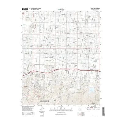
2015 Map of Canoga Park
USGS Topo · Published 2015About this map
The Los Angeles River serves as the hydrological spine for this portion of the San Fernando Valley, winding through a landscape transitioning from the dense suburban grids of Canoga Park and Winnetka toward the steep slopes of the Santa Monica Mountains. The map illustrates a highly developed educational and infrastructure corridor, featuring major institutions like California State University-Northridge and Los Angeles Pierce College. Transit patterns are clearly defined by the Orange Line Busway and major thoroughfares such as Ventura Blvd and Mulholland Dr. To the south, the Santa Monica Mountains National Recreation Area and the Sepulveda Flood Control Basin provide significant open space, contrasting with the residential intensity of Woodland Hills and Tarzana. Water management is a central theme, evidenced by the Chatsworth Reservoir and Encino Reservoir positioned along the valley's edges.
Find a feature on this map
45 named features on this map. Tap any name to fly to it.
Don’t see what you’re looking for? This feature index may not catch every label — zoom into the map to look around manually.
Map Details
Editions of this 2015 Canoga Park Map
This is the sole edition of this map. No revisions or reprints were ever made.
Other maps of this area

1894 · Los Angeles
USGS Topo · 1:62,500

1896 · Santa Monica
USGS Topo · 1:62,500

1898 · Santa Monica
USGS Topo · 1:62,500

1900 · Los Angeles
USGS Topo · 1:62,500

1900 · Fernando
USGS Topo · 1:62,500

1901 · Southern California Sheet No. 1
USGS Topo · 1:250,000

1902 · Santa Monica
USGS Topo · 1:62,500

1903 · Calabasas
USGS Topo · 1:62,500

1903 · Camulos
USGS Topo · 1:125,000

1903 · Santa Susana
USGS Topo · 1:62,500