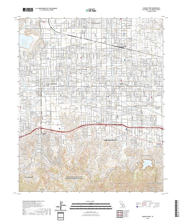
2022 Map of Canoga Park
USGS Topo · Published 2022About this map
Northridge and Canoga Park anchor the urban landscape of the San Fernando Valley in this contemporary study of the western Los Angeles basin. The area is defined by its educational and civic institutions, including the sprawling campus of California State University -Northridge and Los Angeles Pierce College. Transit and drainage patterns are heavily influenced by the channelized path of the Los Angeles River as it flows toward the Sepulveda Flood Control Basin. To the south, the terrain shifts dramatically from the dense residential grid of Winnetka and Reseda into the steep slopes of the Santa Monica Mountains. This transition is marked by the Santa Monica Mountains National Recreation Area, where the unpaved portions of Mulholland Drive follow the ridgeline, overlooking affluent neighborhoods like Tarzana and Woodland Hills along the busy Ventura Blvd corridor.
Find a feature on this map
45 named features on this map. Tap any name to fly to it.
Don’t see what you’re looking for? This feature index may not catch every label — zoom into the map to look around manually.
Map Details
Editions of this 2022 Canoga Park Map
This is the sole edition of this map. No revisions or reprints were ever made.
Other maps of this area

1894 · Los Angeles
USGS Topo · 1:62,500

1896 · Santa Monica
USGS Topo · 1:62,500

1898 · Santa Monica
USGS Topo · 1:62,500

1900 · Los Angeles
USGS Topo · 1:62,500

1900 · Fernando
USGS Topo · 1:62,500

1901 · Southern California Sheet No. 1
USGS Topo · 1:250,000

1902 · Santa Monica
USGS Topo · 1:62,500

1903 · Calabasas
USGS Topo · 1:62,500

1903 · Camulos
USGS Topo · 1:125,000

1903 · Santa Susana
USGS Topo · 1:62,500