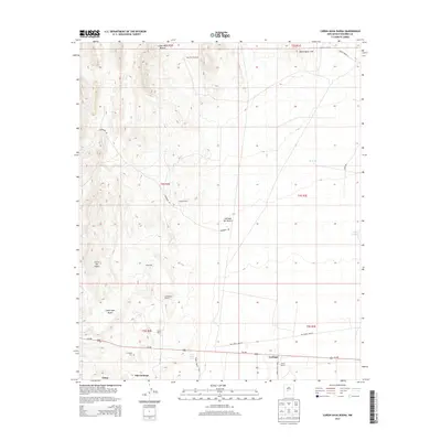
2013 Map of Canon Agua Buena
USGS Topo · Published 2013About this map
The arid basin of Jornada del Muerto dominates this high-desert landscape in central Socorro County, where ranching and mining history converge. The southern edge of the sheet traces the legacy of local coal operations, centering on the settlements of Carthage and Old Carthage. These areas, including the nearby Tokay, were once integral to the region's industrial output. Genealogists and local historians can locate the Carthage Cem and various family-held lands such as Fernandez Ranch, Padilla Ranch, and Muncy Ranch. The topography is defined by the sharp relief of the Blackington Hills and the drainage of Cañon Agua Buena, while the historic Us-380 provides the primary transit artery through the basin. Numerous water points like Gonzales Well and Ranchito Windmill reflect the essential infrastructure required for survival and livestock in this dry terrain.
Find a feature on this map
31 named features on this map. Tap any name to fly to it.
Don’t see what you’re looking for? This feature index may not catch every label — zoom into the map to look around manually.
Map Details
Editions of this 2013 Canon Agua Buena Map
This is the sole edition of this map. No revisions or reprints were ever made.
Other maps of this area

1906 · Socorro
USGS Topo · 1:62,500

1916 · La Joya
USGS Topo · 1:125,000

1948 · Carthage
USGS Topo · 1:62,500

1948 · San Antonio
USGS Topo · 1:62,500

1954 · Tularosa
USGS Topo · 1:250,000

1954 · Socorro
USGS Topo · 1:250,000

1958 · Socorro
USGS Topo · 1:250,000

1958 · Tularosa
USGS Topo · 1:250,000

1959 · Loma De Las Canas
USGS Topo · 1:24,000

1959 · Socorro
USGS Topo · 1:62,500