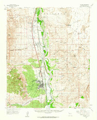
1959 Map of Socorro
USGS Topo · Published 1962About this map
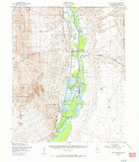
Socorro and the fertile Rio Grande valley serve as the centerpiece of this 1959 study, illustrating a landscape defined by an intricate system of irrigation and transport. The Atchison Topeka and Santa Fe railroad runs parallel to the river, connecting a string of agricultural settlements including Polvadera, Lemitar, and Escondida. These communities rely on a sophisticated network of water engineering, from the Socorro Main Canal and Lemitar Ditch to the Chamisal Drain, which manage the Rio Grande waters for local farming.
Find a feature on this map
91 named features on this map. Tap any name to fly to it.
Don’t see what you’re looking for? This feature index may not catch every label — zoom into the map to look around manually.
Map Details
Editions of this 1959 Socorro Map
This is the sole edition of this map. No revisions or reprints were ever made.
Other maps of this area
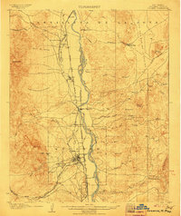
1906 · Socorro
USGS Topo · 1:62,500
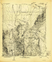
1916 · La Joya
USGS Topo · 1:125,000
1948 · Carthage
USGS Topo · 1:62,500
1948 · San Antonio
USGS Topo · 1:62,500
1952 · San Anacia
USGS Topo · 1:24,000
1952 · La Joya
USGS Topo · 1:24,000
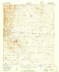
1952 · Becker SW
USGS Topo · 1:24,000

1954 · Tularosa
USGS Topo · 1:250,000

1954 · Socorro
USGS Topo · 1:250,000

1958 · Socorro
USGS Topo · 1:250,000