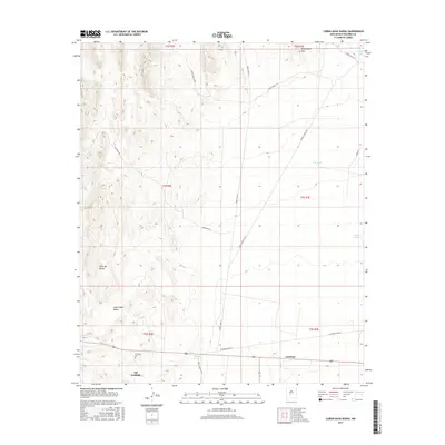
2017 Map of Canon Agua Buena
USGS Topo · Published 2017About this map
Carthage and Old Carthage anchor the southern reaches of this landscape, a region defined by arid drainages and isolated landmarks in Socorro County. The presence of the Carthage Cem near the intersection of modern road networks provides a focal point for genealogical research in this sparsely settled area. The terrain transitions from the elevations of the Blackington Hills and Cerro del Viboro down toward the winding course of the San Pedro Arroyo.
Find a feature on this map
23 named features on this map. Tap any name to fly to it.
Don’t see what you’re looking for? This feature index may not catch every label — zoom into the map to look around manually.
Map Details
Editions of this 2017 Canon Agua Buena Map
This is the sole edition of this map. No revisions or reprints were ever made.
Other maps of this area

1906 · Socorro
USGS Topo · 1:62,500

1916 · La Joya
USGS Topo · 1:125,000

1948 · Carthage
USGS Topo · 1:62,500

1948 · San Antonio
USGS Topo · 1:62,500

1954 · Tularosa
USGS Topo · 1:250,000

1954 · Socorro
USGS Topo · 1:250,000

1958 · Socorro
USGS Topo · 1:250,000

1958 · Tularosa
USGS Topo · 1:250,000

1959 · Loma De Las Canas
USGS Topo · 1:24,000

1959 · Socorro
USGS Topo · 1:62,500