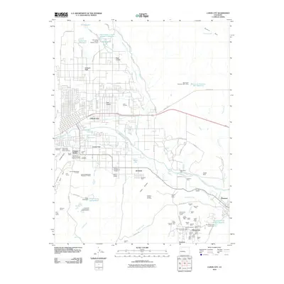
2010 Map of Canon City
USGS Topo · Published 2010About this map
The Arkansas River carves a path through this high-desert landscape, anchoring a network of industrial and agricultural development centered on Cañon City. The map reveals a high concentration of mining operations south of Florence and Williamsburg, including the Williamsburg Mine and several Santa Fe shafts. This intensive extraction history is balanced by a complex irrigation system, with the Oil Creek Ditch and De Weese Dye Ditch feeding settlements like Lincoln Park and Brookside.
Find a feature on this map
109 named features on this map. Tap any name to fly to it.
Don’t see what you’re looking for? This feature index may not catch every label — zoom into the map to look around manually.
Map Details
Editions of this 2010 Canon City Map
This is the sole edition of this map. No revisions or reprints were ever made.
Other maps of this area

1889 · Canon City
USGS Topo · 1:125,000

1892 · Canon City
USGS Topo · 1:125,000

1894 · Pikes Peak
USGS Topo · 1:125,000

1901 · Pikes Peak
USGS Topo · 1:125,000

1942 · Cover Mtn.
USGS Topo · 1:62,500

1948 · Cover Mtn.
USGS Topo · 1:62,500

1954 · Phantom Canyon
USGS Topo · 1:24,000

1954 · Cooper Mountain
USGS Topo · 1:24,000

1954 · Pueblo
USGS Topo · 1:250,000

1957 · Pueblo
USGS Topo · 1:250,000