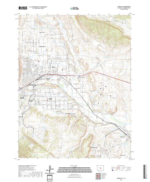
2022 Map of Canon City
USGS Topo · Published 2022About this map
The Arkansas River corridor in Fremont County serves as the central artery for this complex landscape of industrial legacy and residential expansion. The area surrounding Cañon City is defined by an intricate network of water management features, including the Minnequa Canal, Fruitland Ditch, and De Weese Dye Ditch, which underscore the region's historical reliance on irrigation and water rights. To the south, the industrial footprint is visible at the Cotter Tailing Impoundment, while the coal mining history of the Arkansas Valley is reflected in the nearby settlements of Williamsburg, Rockvale, and Coal Creek. Genealogists will find significant value in the documentation of several local burial grounds, such as the Independent Order of Odd Fellows Cem, Abbey Cem, and Lakeside Cem, which anchor the communities of Lincoln Park and Prospect Heights.
Find a feature on this map
173 named features on this map. Tap any name to fly to it.
Don’t see what you’re looking for? This feature index may not catch every label — zoom into the map to look around manually.
Map Details
Editions of this 2022 Canon City Map
This is the sole edition of this map. No revisions or reprints were ever made.
Other maps of this area

1889 · Canon City
USGS Topo · 1:125,000

1892 · Canon City
USGS Topo · 1:125,000

1894 · Pikes Peak
USGS Topo · 1:125,000

1901 · Pikes Peak
USGS Topo · 1:125,000

1942 · Cover Mtn.
USGS Topo · 1:62,500

1948 · Cover Mtn.
USGS Topo · 1:62,500

1954 · Phantom Canyon
USGS Topo · 1:24,000

1954 · Cooper Mountain
USGS Topo · 1:24,000

1954 · Pueblo
USGS Topo · 1:250,000

1957 · Pueblo
USGS Topo · 1:250,000