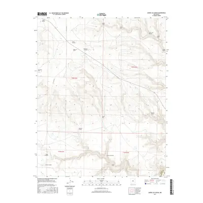
2017 Map of Canon Las Cuevas
USGS Topo · Published 2017About this map
The Mora and Harding County line cuts through this high desert terrain, where the landscape is defined by an intricate network of steep canyons and drainages. Named for their distinctive features and early settlers, these canyons—including Cañon Juan Maestas, Cañon Lee, and Cañon Piedroso—carve through the high plateaus north of the Canadian River valley. The hydrology is centered on seasonal flows like Beaver Cr and Carrizo Cr, which have shaped the local topography over millennia.
Find a feature on this map
25 named features on this map. Tap any name to fly to it.
Don’t see what you’re looking for? This feature index may not catch every label — zoom into the map to look around manually.
Map Details
Editions of this 2017 Canon Las Cuevas Map
This is the sole edition of this map. No revisions or reprints were ever made.
Other maps of this area

1892 · Watrous
USGS Topo · 1:125,000

1894 · Watrous
USGS Topo · 1:125,000

1954 · Santa Fe
USGS Topo · 1:250,000

1954 · Raton
USGS Topo · 1:250,000

1958 · Raton
USGS Topo · 1:250,000

1958 · Santa Fe
USGS Topo · 1:250,000

1964 · Alto De Hormiga
USGS Topo · 1:24,000

1964 · Alamosa Creek
USGS Topo · 1:24,000

1964 · Canon Ancho
USGS Topo · 1:24,000

1971 · Beaver Canyon
USGS Topo · 1:24,000