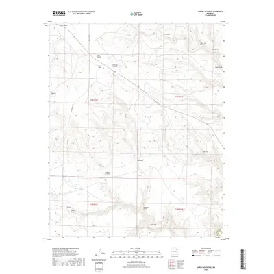
2020 Map of Canon Las Cuevas
USGS Topo · Published 2020About this map
The deep drainage systems of Cañon las Cuevas and Cañon Cuevitas define the landscape of this high plains region on the boundary of Harding and Mora counties. In this modern survey, the terrain is characterized by a complex network of arroyos and canyons that channel water toward the southern reaches, most notably through Beaver Cr and Carrizo Cr. The presence of many family-named features, such as Cañon Juan Maestas and Cañon Piedroso, reflects the long history of Spanish and Mexican land-use patterns across these townships.
Find a feature on this map
25 named features on this map. Tap any name to fly to it.
Don’t see what you’re looking for? This feature index may not catch every label — zoom into the map to look around manually.
Map Details
Editions of this 2020 Canon Las Cuevas Map
This is the sole edition of this map. No revisions or reprints were ever made.
Other maps of this area

1892 · Watrous
USGS Topo · 1:125,000

1894 · Watrous
USGS Topo · 1:125,000

1954 · Santa Fe
USGS Topo · 1:250,000

1954 · Raton
USGS Topo · 1:250,000

1958 · Raton
USGS Topo · 1:250,000

1958 · Santa Fe
USGS Topo · 1:250,000

1964 · Alto De Hormiga
USGS Topo · 1:24,000

1964 · Alamosa Creek
USGS Topo · 1:24,000

1964 · Canon Ancho
USGS Topo · 1:24,000

1971 · Beaver Canyon
USGS Topo · 1:24,000