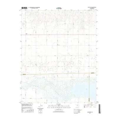
2016 Map of Canton NW
USGS Topo · Published 2016About this map
The North Canadian River winds through the southern reaches of this landscape, feeding into the upper tip of Canton Lake as it straddles the borders of Major, Dewey, and Blaine Counties. This portion of the river valley is characterized by wide floodplains and hydrologic features like Red Bluff Cutoff Lake, which indicate the shifting course of the waterway over time. In the northern uplands, the settlement of Bado sits along the section line roads that define the rural layout of the region.
Find a feature on this map
26 named features on this map. Tap any name to fly to it.
Don’t see what you’re looking for? This feature index may not catch every label — zoom into the map to look around manually.
Map Details
Editions of this 2016 Canton NW Map
This is the sole edition of this map. No revisions or reprints were ever made.
Other maps of this area

1955 · Woodward
USGS Topo · 1:250,000

1958 · Woodward
USGS Topo · 1:250,000

1969 · Phroso
USGS Topo · 1:24,000

1969 · Glass Mountains
USGS Topo · 1:24,000

1969 · Glass Mountains SW
USGS Topo · 1:24,000

1972 · Longdale
USGS Topo · 1:24,000

1972 · Canton NW
USGS Topo · 1:24,000

1972 · Canton
USGS Topo · 1:24,000

1972 · Hucmac
USGS Topo · 1:24,000

1972 · Canton SW
USGS Topo · 1:24,000