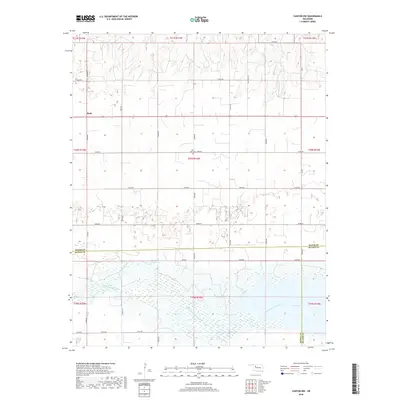
2018 Map of Canton NW
USGS Topo · Published 2018About this map
Bado stands as a primary point of reference in this rural landscape within Major County, where the plains give way to the complex hydrology of the North Canadian River valley. The map reveals a land structured by the Public Land Survey System, with an orderly grid of roads like Indian Rd and Dane Field Rd sectioning the terrain. A notable geographic transition occurs as the northern creek drainage of Cheyenne Cr leads south toward the significant waters of Canton Lake.
Find a feature on this map
34 named features on this map. Tap any name to fly to it.
Don’t see what you’re looking for? This feature index may not catch every label — zoom into the map to look around manually.
Map Details
Editions of this 2018 Canton NW Map
This is the sole edition of this map. No revisions or reprints were ever made.
Other maps of this area

1955 · Woodward
USGS Topo · 1:250,000

1958 · Woodward
USGS Topo · 1:250,000

1969 · Phroso
USGS Topo · 1:24,000

1969 · Glass Mountains
USGS Topo · 1:24,000

1969 · Glass Mountains SW
USGS Topo · 1:24,000

1972 · Longdale
USGS Topo · 1:24,000

1972 · Canton NW
USGS Topo · 1:24,000

1972 · Canton
USGS Topo · 1:24,000

1972 · Hucmac
USGS Topo · 1:24,000

1972 · Canton SW
USGS Topo · 1:24,000