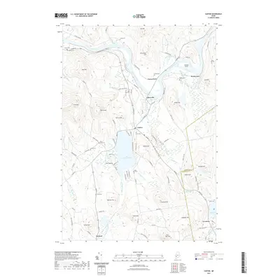
2021 Map of Canton
USGS Topo · Published 2021About this map
The Androscoggin River winds through this section of Oxford County, creating a fertile valley bounded by prominent heights like Thorne Mtn and McCollister Hill. The village of Canton serves as a central hub, situated along the northern shore of Lake Anasagunticook. Evidence of the area's industrial past remains visible in the Old Railroad Grade that skirts the lake and connects toward Gilbertville. For genealogists, the map is a dense resource of family burial sites, including the Ludden Cem, Deshon Cem, and Maple Grove Cem. The landscape is a mix of water and elevation, with Martin Stream and Leavitt Brook draining the southern uplands near Little Bear Mtn.
Find a feature on this map
108 named features on this map. Tap any name to fly to it.
Don’t see what you’re looking for? This feature index may not catch every label — zoom into the map to look around manually.
Map Details
Editions of this 2021 Canton Map
This is the sole edition of this map. No revisions or reprints were ever made.
Other maps of this area

1910 · Livermore
USGS Topo · 1:62,500

1911 · Buckfield
USGS Topo · 1:62,500

1912 · Livermore
USGS Topo · 1:62,500

1913 · Buckfield
USGS Topo · 1:62,500

1924 · Farmington
USGS Topo · 1:62,500

1926 · Dixfield
USGS Topo · 1:62,500

1929 · Dixfield
USGS Topo · 1:62,500

1941 · Livermore
USGS Topo · 1:62,500

1942 · Buckfield
USGS Topo · 1:62,500

1950 · Lewiston
USGS Topo · 1:250,000