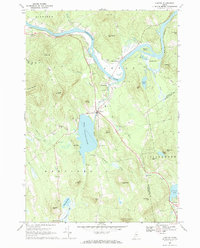
1967 Map of Canton
USGS Topo · Published 1984About this map
Canton serves as the focal point of this Oxford County landscape, situated where the Maine Central railroad tracks skirt the eastern shore of Lake Anasagunticook. The winding Androscoggin River defines the northern topography, flowing past Canton Point and several significant gravel operations. The map provides a clear look at the industrial and community infrastructure of the late 1960s, documenting a network of rural cemeteries like Hillside Cem and Pine Grove Cem, as well as Bradbury Chapel and the small settlement of Gilbertville. Away from the river valley, the terrain is marked by numerous family-named landmarks including McCollister Hill and Staples Hill. An Old Railroad Grade suggests earlier transportation routes through the valley, while schools such as Academy Hill indicate established local centers of education and community life during this era.
Find a feature on this map
63 named features on this map. Tap any name to fly to it.
Don’t see what you’re looking for? This feature index may not catch every label — zoom into the map to look around manually.
Map Details
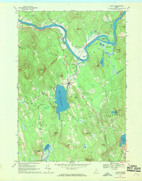
Editions of this 1967 Canton Map
2 editions found
Other maps of this area

1910 · Livermore
USGS Topo · 1:62,500

1911 · Buckfield
USGS Topo · 1:62,500

1912 · Livermore
USGS Topo · 1:62,500

1913 · Buckfield
USGS Topo · 1:62,500

1924 · Farmington
USGS Topo · 1:62,500

1926 · Dixfield
USGS Topo · 1:62,500

1929 · Dixfield
USGS Topo · 1:62,500

1941 · Livermore
USGS Topo · 1:62,500

1942 · Buckfield
USGS Topo · 1:62,500

1950 · Lewiston
USGS Topo · 1:250,000