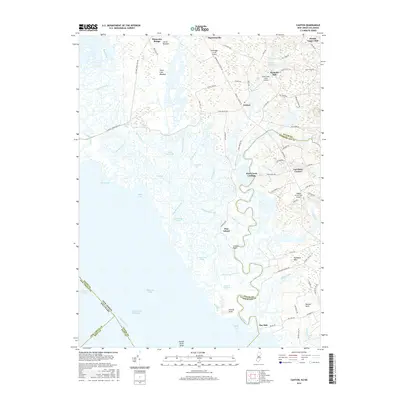
2016 Map of Canton
USGS Topo · Published 2016About this map
Delaware Bay and the tidal wetlands of southwestern New Jersey dominate this coastal landscape, where the Delaware River meets a complex network of marshes and inlets. Small inland settlements such as Canton and Harmersville serve as hubs for a region defined by its relationship with the water, particularly along the winding course of Stow Creek. The persistence of agricultural and maritime heritage is evident in place names like Bacons Neck and Stathems Neck, as well as the historic milling sites of Maskells Mill and Woods Upper Mill.
Find a feature on this map
93 named features on this map. Tap any name to fly to it.
Don’t see what you’re looking for? This feature index may not catch every label — zoom into the map to look around manually.
Map Details
Editions of this 2016 Canton Map
This is the sole edition of this map. No revisions or reprints were ever made.
Other maps of this area

1890 · Salem
USGS Topo · 1:62,500

1890 · Bay Side
USGS Topo · 1:62,500

1894 · Bay Side
USGS Topo · 1:62,500

1898 · Salem
USGS Topo · 1:62,500

1899 · Vineland
USGS Topo · 1:125,000

1899 · Dover
USGS Topo · 1:125,000

1901 · Camden
USGS Topo · 1:125,000

1904 · Wilmington
USGS Topo · 1:62,500

1906 · Dover
USGS Topo · 1:125,000

1906 · Wilmington
USGS Topo · 1:62,500
Featured Places
- Quinton Township, NJ
- Lower Alloways Creek Township, NJ
- Greenwich Township, NJ
- Canton, Lower Alloways Creek Township
- Gum Tree Corner, Stow Creek Township