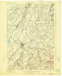
1911 Map of Canton
USGS Topo · Published 1925About this map
The Grass River and Raquette River flow northward through this St. Lawrence County landscape, providing the hydroelectric power and transportation routes that fueled early 20th-century industry. The village of Canton serves as a central hub, where the New York Central and Hudson River railroad intersects with a grid of emerging local roads. To the east, Potsdam sits on the banks of the Raquette, while smaller hamlets like Crary Mills and West Potsdam punctuate the agricultural land. Evidence of rural community life is visible in the placement of the Beach Plains Church and the Brick Chapel near Little River. The terrain transitions from the alluvial plains of the Brandy Brook to the rising elevations of Waterman Hill and Morey Ridge, illustrating the varied topography of the North Country before modern highway expansion.
Find a feature on this map
48 named features on this map. Tap any name to fly to it.
Don’t see what you’re looking for? This feature index may not catch every label — zoom into the map to look around manually.
Map Details
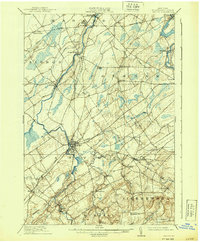
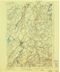
Editions of this 1911 Canton Map
4 editions found
Other maps of this area

1904 · Lisbon
USGS Topo · 1:48,000

1904 · Ogdensburg
USGS Topo · 1:62,500

1905 · Waddington
USGS Topo · 1:62,500

1905 · Ogdensburg
USGS Topo · 1:62,500

1906 · Red Mills
USGS Topo · 1:62,500

1906 · Massena
USGS Topo · 1:62,500

1907 · Massena
USGS Topo · 1:62,500

1908 · Potsdam
USGS Topo · 1:62,500

1910 · Canton
USGS Topo · 1:62,500

1911 · Canton
USGS Topo · 1:62,500