
1911 Map of Canton
USGS Topo · Published 1911About this map
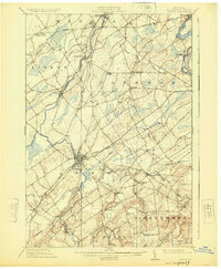
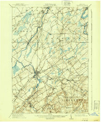
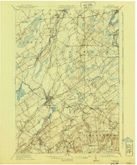
The Grass River and Raquette River define the industrial and social layout of this northern St. Lawrence County landscape just before the First World War. Canton serves as a primary hub where the New York Central and Hudson River railroad crosses the water, facilitating the movement of goods and people. Further north, Potsdam and Norwood emerge as key settlements along the riverbanks, surrounded by a dense network of smaller farming communities and family-named landmarks like Burnham Corners and Casey Corners.
Find a feature on this map
55 named features on this map. Tap any name to fly to it.
Don’t see what you’re looking for? This feature index may not catch every label — zoom into the map to look around manually.
Map Details
Editions of this 1911 Canton Map
4 editions found
Other maps of this area

1904 · Lisbon
USGS Topo · 1:48,000

1904 · Ogdensburg
USGS Topo · 1:62,500

1905 · Waddington
USGS Topo · 1:62,500

1905 · Ogdensburg
USGS Topo · 1:62,500

1906 · Red Mills
USGS Topo · 1:62,500

1906 · Massena
USGS Topo · 1:62,500

1907 · Massena
USGS Topo · 1:62,500

1908 · Potsdam
USGS Topo · 1:62,500

1910 · Canton
USGS Topo · 1:62,500

1915 · Gouverneur
USGS Topo · 1:62,500